Stilton and Caldecote Wood Circular Walk
![]()
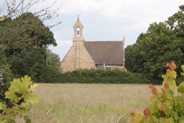
![]() This circular walk explores the area to the west of the Cambridgeshire village of Stilton.
This circular walk explores the area to the west of the Cambridgeshire village of Stilton.
On the walk you will head through the countryside to neighbouring Folksworth before enjoying some peaceful woodland trails through Caldecote Wood.
The route runs for just under 8 miles using public footpaths and country lanes. It is fairly flat with some small climbs.
After your walk you could enjoy refreshments at the historic Bell Inn in Stilton. The 15th century coaching inn serves good food and has some lovely gardens to relax in. You can find them at postcode PE7 3RA.
To continue your walking around Stilton head east to explore Holme Fen where you will find the largest Silver Birch woodland in lowland England. To the south there's the Sawtry, Upton and Aversley Wood Circular Walk to try.


