Stonehouse Walks
![]()
![]() This Cotswolds village is located in a rural spot just to the west of Stroud.
This Cotswolds village is located in a rural spot just to the west of Stroud.
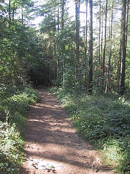
This walk from the village takes you to the peaceful woodland trails in Standish Wood before climbing to the viewpoint at Haresfield Beacon. The route uses a section of the Cotswold Way National Trail which can be picked up just to the east of the village and the train station. The trail will take you north past Doverow Hill, Westrip and Randwick before entering Standish Wood where there's bluebells in the spring and evidence of Bronze Age settlements. From here you can head a short distance north to Haresfield Beacon where there's an Iron Age Hillfort and wonderful views over the Severn Vale.
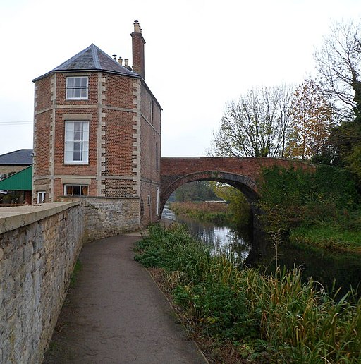
Towards the end of the route there's also a pleasant waterside stretch along the Stroud Canal which runs just to the south of the settlement. You can continue your walkig along the canal on the Stroud to Stonehouse Canal Walk.
Stonehouse Ordnance Survey Map  - view and print off detailed OS map
Stonehouse Open Street Map  - view and print off detailed map
*New* - Walks and Cycle Routes Near Me Map - Waymarked Routes and Mountain Bike Trails>>
Stonehouse OS Map  - Mobile GPS OS Map with Location tracking
Stonehouse Open Street Map  - Mobile GPS Map with Location tracking
Walks near Stonehouse
- Stroud - The market town of Stroud has several long distance walking trails running through it and a number of woods, parks and hill climbs to try
- Stroud Valleys Trail - This route runs from Stonehouse to Nailsworth following a disused railway line
- Selsley Common - This large open area near Stroud has miles of footpaths and wonderful panoramic views over the Cotswolds
- Slad Valley - This circular walk explores the area surrounding the Gloucestershire village of Slad near Stroud
- Painswick Beacon - Visit the delightful Cotswolds village of Painswick and climb the nearby Painswick Hill on this walk near Stroud
- Woodchester Park - This National Trust owned park in the Cotswolds is the perfect place for a peaceful afternoon stroll.
- Standish Wood - Enjoy peaceful woodland trails in this large area of woodland near Whiteshill, Stroud
- Cotswold Canals - Follow a series of delightful waterways from Framilode to Lechlade on this waterside walk through Gloucestershire.
The walk starts at Framilode, next to the River Severn and follows the Stroudwater Canal and the River Frome to the market town of Stroud - Cotswold Way - This trail takes you through some of the most beautiful countryside in England
- Rodborough Common - Enjoy splendid views over the Severn Vale from this lovely open space near Stroud
- Minchinhampton Common - This large area of common land near Nailsworth is criss-crossed with miles of nice footpaths
Photos
Stonehouse High Street. Taken from the Post Office looking south. You can see the junction of Regent Street and on the left a little way down the road is the spire of a church.
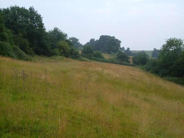
Doverow Hill. Doverow Hill overlooks Stonehouse on the west; this is the northeastern side, where it slopes down towards Stroud, and the Cotswold Way crosses not far behind the camera.


