Stourport Circular Walk
![]()
![]() This walk around Stourport on Severn makes use of the Severn Way and the Geopark Way to create a lovely circular route around the town. It runs for about 8 miles on mostly flat paths with a couple of moderate climbs. On the way you'll enjoy waterside sections along the River Severn and the Staffordshire and Worcestershire Canal. There's also a visit to Hartlebury Common and Leapgate Country Park.
This walk around Stourport on Severn makes use of the Severn Way and the Geopark Way to create a lovely circular route around the town. It runs for about 8 miles on mostly flat paths with a couple of moderate climbs. On the way you'll enjoy waterside sections along the River Severn and the Staffordshire and Worcestershire Canal. There's also a visit to Hartlebury Common and Leapgate Country Park.
The walk starts on Stourport Bridge where you can pick up the Severn Way and follow it north west, past the riverside gardens towards Bewdley. There's some woodland trails and views over to Ribbesford Woods on this section.
At the Bewdley By-Pass you pick up the Geopark Way and head south east to Blackstone and Burlish Top. Here you'll find a pretty nature reserve comprising of acid grassland, surrounded by oak and birch scrub. The site is in an elevated position providing great views over the surounding countryside.
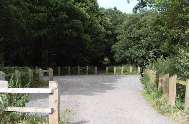
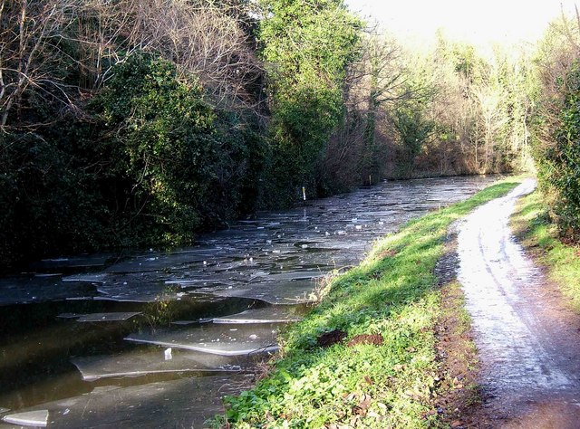
The route then descends to the canal where you follow the towpath to Upper Mitton Bridge. Here you turn east and then south to explore Leapgate Country Park and Hartlebury Common. The 229 acre common is criss crossed with a number of lovely waymarked walking paths where you can see many varieties of wild plants and insects, especially butterflies and moths. You could also take a short detour here to visit Hartlebury Castle. The Grade I listed building dates from the 13th century and includes a fascinating museum.
After leaving the common the route picks up the riverside path again, passing the River Stour and the canal basin before returning to Stourport Bridge.
To continue your walking around Stourport head to Shrawley Woods. The woods are located just to the south of the town and can be reached by following the Severn Way south for a couple of miles. There's miles of nice trails here and lots of bluebells to see in the spring.
Witley Court is also located near here. There's some nice trails to follow around the grounds of the 19th century mansion which include a spectacular lake, a French parterre and a vast fountain of Perseus and Andromeda carved from Portland stone.
Stourport Ordnance Survey Map  - view and print off detailed OS map
Stourport Open Street Map  - view and print off detailed map
Stourport OS Map  - Mobile GPS OS Map with Location tracking
Stourport Open Street Map  - Mobile GPS Map with Location tracking
Further Information and Other Local Ideas
Just to the south is the worthy village of Ombersley where you'll find a number of interesting timber framed properties, an ancient 15th century pub and the historic Ombersley House Estate.


