Sutton on Sea Walks
![]()
![]() This coastal village in Lincolnshire has some fine blue flag beaches to explore. It's also close to the Lincolnshire Wolds where there are miles of trails to choose from.
This coastal village in Lincolnshire has some fine blue flag beaches to explore. It's also close to the Lincolnshire Wolds where there are miles of trails to choose from.
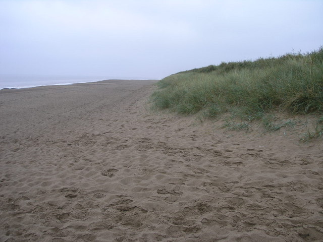
This walk from the village takes you south along the England Coast Path to visit Sandilands, Anderby Creek and Chapel St Leonards. It's a pleasant stretch of flat coast with nice beaches, pretty coastal villages and good sea views.
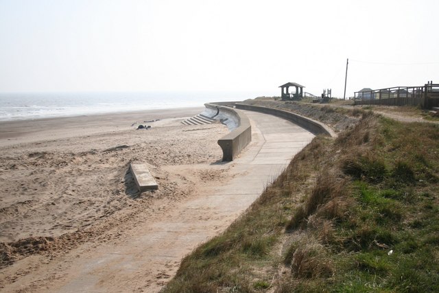
The walk starts from the public car park on the sea front. You then head south along the sea defence wall passing the Sandiland Golf Course and Hufton Bank before coming to Anderby Creek.
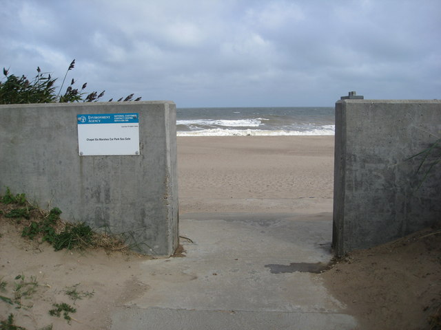
The final section passes Wolla Bank and Chapel Six Marshes before coming into Chapel St Leonards. You can extend the walk by continuing south to Ingoldmells and the popular resort of Skegness.
Postcode
LN12 2ET - Please note: Postcode may be approximate for some rural locationsSutton on Sea Ordnance Survey Map  - view and print off detailed OS map
Sutton on Sea Open Street Map  - view and print off detailed map
Sutton on Sea OS Map  - Mobile GPS OS Map with Location tracking
Sutton on Sea Open Street Map  - Mobile GPS Map with Location tracking
Pubs/Cafes
The Beach Bar is a nice pub situated in a great spot on the sea front. They serve good food which you can enjoy outside with a sea view. You can find them on the front at Trusthorpe Road, LN12 2ET.
Dog Walking
Dogs are welcome on Sutton on Sea beach from the Promenade to The Pullover, in the Furlong Road area. They are also allowed from an area at the end of the man central beach in the direction of Trusthorpe. The Beach Bar mentioned above is also dog friendly.
Further Information and Other Local Ideas
If you head north along the coast path it will take you to Trusthorpe and Mablethorpe. Near here you can visit the lovely Saltfleet Nature Reserve and the Donna Nook Nature Reserve where there's lot of wildlife to see.
The Mablethorpe To Skegness Cycle Route passes through the village. It mostly follows the promenades between the two neighbouring settlements so is also suitable for walkers.
For more walking ideas in the area see the Lincolnshire Walks page.
Cycle Routes and Walking Routes Nearby
Photos
War Memorial on Sea Front, Sutton on Sea. The war memorial consists of a white stone blocks on a concrete base, within a york stone larger base. The names of the fallen from both World Wars, and from the Korean War and Northern Ireland conflict are on a newish looking bronze plaque. The surround has gardens and sitting areas. Beyond the memorial can be seen the sea wall.


