Sychnant Pass Walk

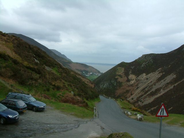
 This circular walk explores the wonderful Sychnant Pass near Conwy in North Wales. The pass runs through the stunning scenery of the Snowdonia National Park from Conwy to Penmaenmawr via Dwygyfylchi. There's lots of great walking trails with stunning views towards the Welsh Coast and the Isle of Anglesey.
This circular walk starts from the car park near the Pensychnant Conservation Centre and explores the surrounding hills and mountains on a series of footpaths. From the car park you can pick up the North Wales Path and follow the waymarked footpath south past Capelulo, Maen Esgob and Waen Gyrach. Here you turn west to follow trails up to Foel Lus where you can climb to the 362 metre high summit for some excellent coastal views.
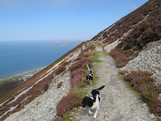
The next section you along the Jubilee Trail, an elevated path created for the Golden Jubilee of Queen Victoria in 1887. The path bends around Foel Lus before heading north past Capelulo to return to the car park.
Postcode
LL32 8BJ - Please note: Postcode may be approximate for some rural locationsSychnant Pass Ordnance Survey Map  - view and print off detailed OS map
Sychnant Pass Open Street Map  - view and print off detailed map
Sychnant Pass OS Map  - Mobile GPS OS Map with Location tracking
Sychnant Pass Open Street Map  - Mobile GPS Map with Location tracking
Pubs/Cafes
In Capelulo you can stop off at The Fairy Glen Hotel for some refreshments on the walk. They serve good food and have an outdoor area if the sun is shining. You can find them on the Conway Old Rd at postcode LL34 6SP for your sat navs.
Further Information and Other Local Ideas
The Llanfairfechan Walk passes the hill so you could pick this up to continue your walking. It uses part of the North Wales Path to explore the area and climb to the nearby Conwy Mountain. You could also enjoy a climb to Foel Fras or visit the stunning Aber Falls in Abergwyngregyn.
For more walking ideas in the area see the Snowdonia Walks page.
Cycle Routes and Walking Routes Nearby
Photos
National Park car park. A sunny, frosty morning at the Sychnant car park constructed by the Snowdonia National Park. The track leads south past Gwern Engen.
Lake at Pensychnant near the start of the walk. The Pensychnant trust works with many local naturalists and local and national wildlife and conservation organisations to foster the public’s appreciation and understanding of nature. The 120 acre reserve includes diverse wildlife, ancient and Victorian woodlands and attractive heathland. Look out for a variety of wildlife here with choughs, cuckoos, skylarks, redstarts, wood warblers, nuthatches and woodpeckers,.
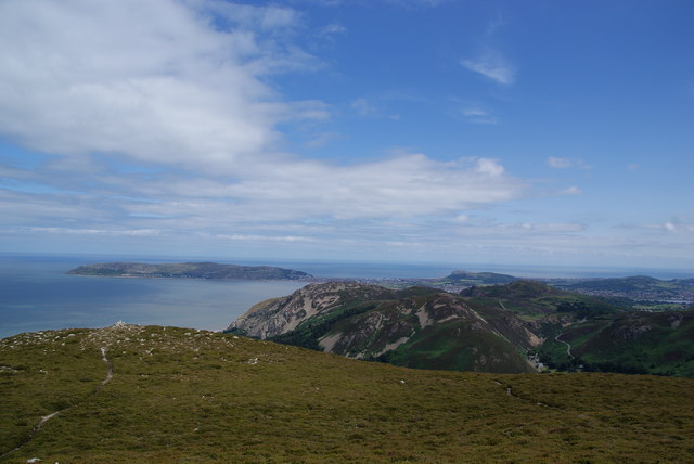
Cairn, Maen Esgob According to my 1987 Pathfinder map, there was a trig pillar here. Now there is only a cairn! Fine views to the North of the Conwy Mountain and Great Orme's Head can be obtained from this eminence at 300m altitude.
On the Jubilee Trail below Foel Lus. Two dogs peer over the precarious edge of the heather lined path. The path was constructed and dedicated to the Jubilee of Queen Victoria in 1887, although it was not completed until June 1888. The panoramic walk was constructed to link pre-existing paths to the east and south, and it furnishes spectacular views of Anglesey and Conwy Bay.
The top of Foel Lus. This is looking in the direction of Llandudno.


