Threipmuir Reservoir
![]()
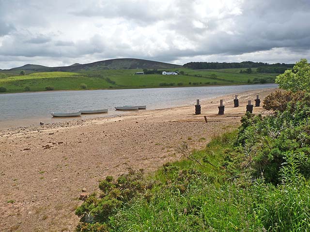
![]() This circular walk visits Threipmuir Reservoir near Balerno in the Pentland Hills .
This circular walk visits Threipmuir Reservoir near Balerno in the Pentland Hills .
The route also visits the nearby Black Hill and the 16th century Bavelaw Castle which sits just to the south of the car park.
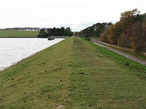
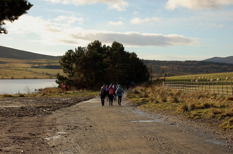
You can start of at the reservoir car park at the western end of the water. Then pick up the footpaths heading north east along the water. At the eastern end you can cross the lake at the dam before following the Black Hill path to Bavelaw Castle. Finally the walk crosses the Redford Bridge to return to the car park.
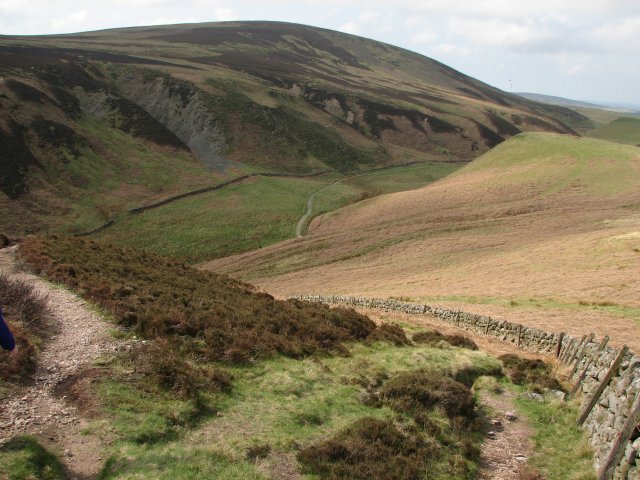
On the route there are splendid views of the surrounding Pentland Hills including Green Cleugh and Hare Hill. Also keep your eyes peeled for water loving wildlife on the lake and in the adjacent Red Moss of Balerno Nature Reserve.
It's easy to extend the walk by visiting the adjacent Harlaw Reservoir where there's more nice waterside paths to enjoy.
Postcode
EH14 7JT - Please note: Postcode may be approximate for some rural locationsThreipmuir Reservoir Ordnance Survey Map  - view and print off detailed OS map
Threipmuir Reservoir Open Street Map  - view and print off detailed map
Threipmuir Reservoir OS Map  - Mobile GPS OS Map with Location tracking
Threipmuir Reservoir Open Street Map  - Mobile GPS Map with Location tracking
Further Information and Other Local Ideas
For more walking ideas in the area see the Pentland Hills Walks page.
Cycle Routes and Walking Routes Nearby
Photos
Green Cleugh and Hare Hill. Green Cleugh is a popular walking and cycling route leading into the heart of the northern Pentlands.


