Turlough Hill
![]() This walk visits Lough Nahanagan, Camaderry Mountain and Turlough Reservoir before climbing to Turlough Hill for wonderful views over the Wicklow Mountains.
This walk visits Lough Nahanagan, Camaderry Mountain and Turlough Reservoir before climbing to Turlough Hill for wonderful views over the Wicklow Mountains.
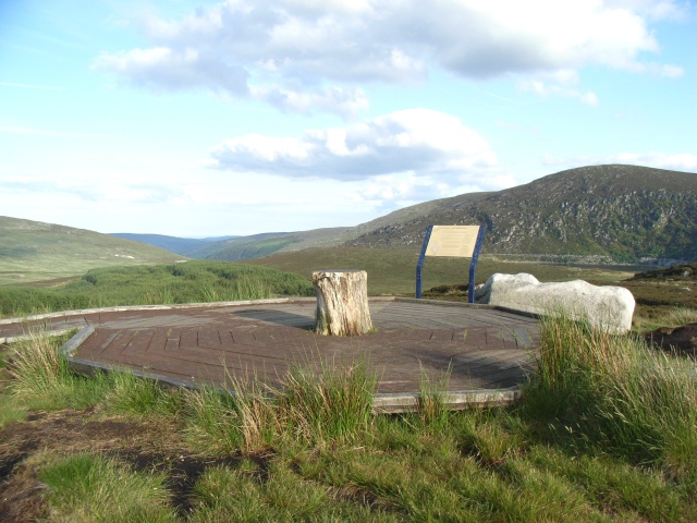
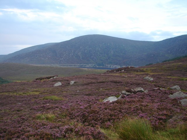
The walk starts from the Wicklow Gap car park just to the north of Lough Nahanagan. From here you can pick up footpaths heading south to the Lough before climbing to the 698 m (2,290 ft) summit of Camaderry. The route then bends round through Sevenchurches to the Turlough Hill Reservoir. Here you will find a hydroelectric Power Station which can generate up to 292 megawatts (392,000 hp) of electricity at times of peak demand. It is Ireland's only pumped-storage hydroelectricity plant. From here you climb to the west to reach the 681 metres (2,234 ft) summit of Turlough Hill. The granite mountain is covered with blanket bog, a habitat for heather, purple moor grass, Sphagnum moss and a number of Alpine plants. There's also great views over the surrounding lakes and mountains of Wicklow.
To continue your walking in the area head a short distance to the south to visit the lovely Glendalough Lakes. Here you will find waymarked trails, taking you around both lakes with riverside sections, woodland and a waterfall to enjoy as well. Just to the south west of the hill you can pick up trails to take you up to Lugnaquilla, the highest mountain in Ireland.
Turlough Hill Open Street Map  - view and print off detailed map
*New* - Walks and Cycle Routes Near Me Map - Waymarked Routes and Mountain Bike Trails>>
Turlough Hill Open Street Map  - Mobile GPS Map with Location tracking
Further Information and Other Local Ideas
Just to the west you can pick up the Barrow Way, a 100km walk following the River Barrow from Robertstown, County Kildare to Graiguenamanagh and St Mullins Walk in County Carlow.
The epic Wicklow Way passes through the area. You could pick up this waymarked trail to further explore the Wicklow Mountains.
To the south east there's Avondale Forest Park where you can try the circular woodland trail along the River Avonmore. The park also includes a popular treetop walk where you can enjoy wonderful views over the area from an elevated path through the trees. It is the first of its kind in Ireland.
To the north east is the beautiful heart shaped lake of Lough Ouler. In this area you can also visit the Glenmacnass waterfall and enjoy a climb to the stunning viewpoint at Tonelagee.


