Tyntesfield Walks
![]()
![]() This Victorian Gothic Revival house near the Bristol is surrounded by 150 acres (61 ha) of parkland and gardens which are perfect for a peaceful walk.
This Victorian Gothic Revival house near the Bristol is surrounded by 150 acres (61 ha) of parkland and gardens which are perfect for a peaceful walk.
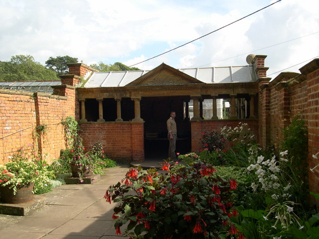
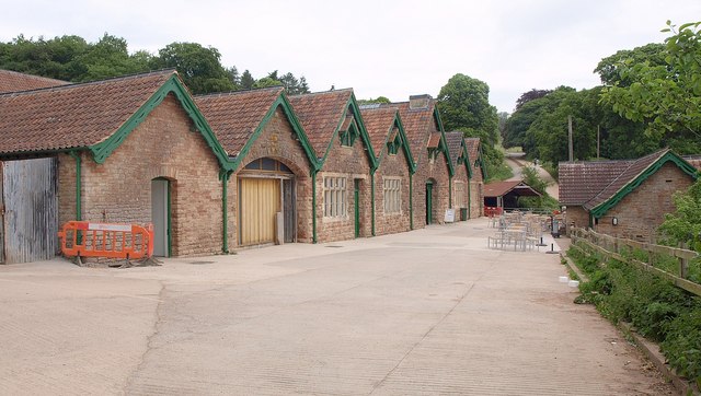
You can explore the woodland, the tree lined drive, the delightful rose garden, the walled kitchen garden, summer houses, and the aviary - all with the rolling Somerset hills as beautiful backdrop. The Home Farm Visitor Centre houses the Cow Barn kitchen, gift shop and garden shop.
Tyntesfield is located about 4 miles west of Bristol, near Nailsea and Clevedon.
Please click here for more information
Tyntesfield House Ordnance Survey Map  - view and print off detailed OS map
Tyntesfield House Open Street Map  - view and print off detailed map
Tyntesfield House OS Map  - Mobile GPS OS Map with Location tracking
Tyntesfield House Open Street Map  - Mobile GPS Map with Location tracking
Further Information and Other Local Ideas
The circular Nailsea Walk starts from the nearby town. It visits the delightful Ty Sculpture Trail, the ancient Cadbury Camp and the National Trust's Clevedon Court. You can also visit the lovely Backwell Lake Nature Reserve at the southern edge of the town.
For cyclists, National Cycle Route 33 passes close to the house if you wish to visit by bike.
The National Trust village of Failand is just to the east of the estate. There's a nice circular walk to try here taking you to the local bluebell woods and the delightful Abbots Pool.
For more walking ideas in the area see the Somerset Walks page.
Cycle Routes and Walking Routes Nearby
Photos
The walled kitchen garden. Lilies in the water reservoir and only half the plot is currently in use, but this could be a capacious vegetable plot.
Station Lodge. Gate on left of picture is a private entrance into the the estate. Public entrance is via the B3128.
Wraxall: Watercress Farm. The farm at one time belonged to the Tyntesfield estate, now National Trust. The farmhouse has been rebuilt following a fire in the 1980s. In 2006 work is now in progress to convert outbuildings. Two little water-powered pump houses here provided water for Tyntesfield House. Looking north west


