Umberleigh Walks

 This little North Devon village has some nice riverside trails along the River Taw.
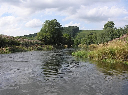
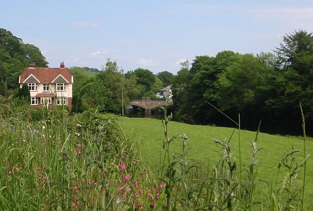
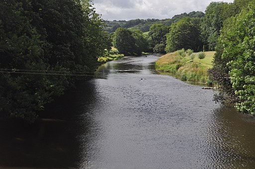
This short walk starts off from Umberleigh railway station on the Tarka Line in between Portsmouth Arms and Chapelton. The Great Western Railway service offers a direct connection to Exeter and Barnstaple. From here you can head west through the village to the river and pick up a pleasant waterside footpath. Follow it north and it will take you past Umberleigh Railway Viaduct towards Hoe. On the walk there's nice views of the picturesque Umberleigh Bridge and the surrounding countryside.
To continue your walking in the area head north towards Barnstaple and you could enjoy a climb to the splendid viewpoint at Codden Hill.
Scroll down to see other walks near and around Umberleigh.
Umberleigh Ordnance Survey Map  - view and print off detailed OS map
Umberleigh Open Street Map  - view and print off detailed map
Umberleigh OS Map  - Mobile GPS OS Map with Location tracking
Umberleigh Open Street Map  - Mobile GPS Map with Location tracking
Walks near Umberleigh
- Codden Hill - This circular walk climbs to Codden Hill from the village of Bishop's Tawnton in North Devon
- Tarka Trail - This wonderful walk through Devon follows the path taken by Tarka the Otter in the book of that name
- Barnstaple - This walk makes use of three of the waymarked trails which pass through the town
- Appledore - This pretty Devon village is located at the mouth of the River Torridge, near the towns of Barnstaple and Bideford
- Bideford - This attractive North Devon town has some lovely walks along the estuary of the River Torridge
- Northam Burrows Country Park - Explore over 600 acres of grassy coastal plain, salt marsh, sand dunes and grasslands in this coastal country park in Devon
- Great Torrington - This attractive historic town in Devon is a lovely place to explore on foot
- Instow - This delightful Devon village sits in a lovely spot where the rivers Taw and Torridge meet
- Arlington Court - This walk explores the grounds of the National Trust's Arlington Court on the edge of Exmoor in north Devon.


