Viking Way Circular Walk
![]()
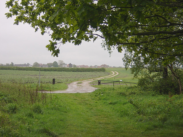
![]() This route uses a section of the Viking Way and the Water Rail Way to create a circular walk around the Lincolnshire Wolds town of Woodhall Spa. On the route there's some lovely fenland scenery and waterside walking along the River Witham to enjoy.
This route uses a section of the Viking Way and the Water Rail Way to create a circular walk around the Lincolnshire Wolds town of Woodhall Spa. On the route there's some lovely fenland scenery and waterside walking along the River Witham to enjoy.
The walk starts in the town and follows the trail west and then north to the village of Stixwould. You continue north east along Duckpool Lane before turning west to visit Southrey. Here you pick up the Water Rail Way, a shared cycling and walking trail running along a dismantled railway line. The trail willl take you south east along the river to Woodhall Spa.
Viking Way Circular Walk Ordnance Survey Map  - view and print off detailed OS map
Viking Way Circular Walk Open Street Map  - view and print off detailed map
Viking Way Circular Walk OS Map  - Mobile GPS OS Map with Location tracking
Viking Way Circular Walk Open Street Map  - Mobile GPS Map with Location tracking
Pubs/Cafes
Back in Woodhall Spa The Abbey Lodge Inn is a good choice for some post walk refreshments. The olde worlde style pub has a cosy interior with roaring fires. It's a friendly place with a good menu and selection of ales. You can find it just to the south of the village on Tattershall Road at a postcode of LN10 6UQ.
Further Information and Other Local Ideas
You can extend your walk by continuing south along the river to visit Tattershall Lakes. There's more nice waterside walks here and the historic Tattershall Castle.
For more walking ideas in the area see the Lincolnshire Walks page.
Cycle Routes and Walking Routes Nearby
Photos
Lincolnshire Longwool. One of the 4 sheep in the clever sculpture by Sally Matthews on the Water Rail Way


