Welford Reservoir and Canal Walk

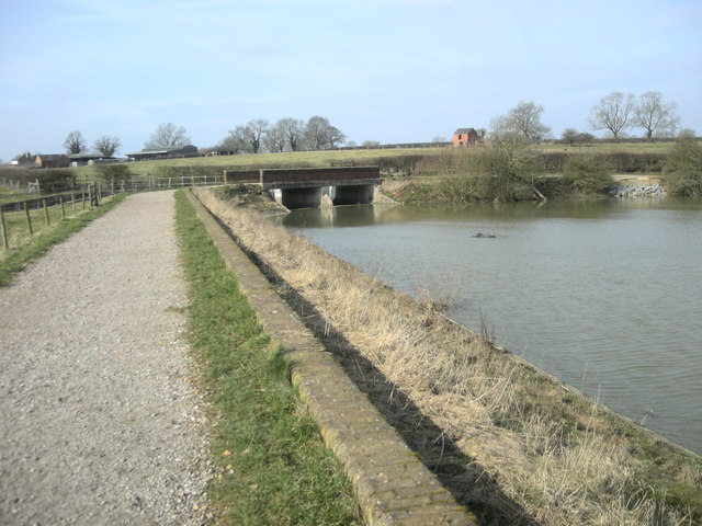
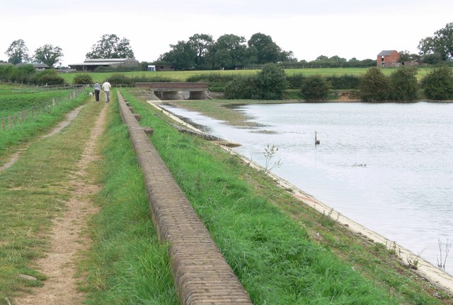
 This circular walk around Welford visits the local reservoir before a stroll along the Welford Arm of the Grand Union Canal.
You'll visit the attractive marina at Welford Wharf and follow one of the area's waymarked trails through some of the surrounding countryside. The village itself sits in an interesting position on the River Avon border between Northamptonshire and Leicestershire.
Starting in the village you follow paths a short distance to the north east to to the reservoir. You can then follow a footpath around the water. The reservoir provides water to the summit level of the Grand Union Canal by way of the navigable Welford Arm. After rounding the reservoir you can pick up the towpath and follow it north west, past the pretty marina to the aqueduct and Bosworth Mill Meadow. This hay meadow is a 5.7 hectare biological Site of Special Scientific Interest. The main flora are crested dog's-tail and common knapweed, with meadow foxtail and great burnet in wet area. Here the canal branches off to the south west before picking up a section of Shakespeare's Avon Way to take you back to Welford.
The village is located a short distance from Naseby Field, site of the 1645 Battle of Naseby. Our Naseby Battlefield Walk takes you around the site and also visits Sulby Reservoir. Heading east from the village along Shakespeare's Avon Way will take you along the River Avon towards the field. The Jurassic Way also passes through the area and will take you north east toward Sibbertoft or south west toward Elkington.
Welford Ordnance Survey Map  - view and print off detailed OS map
Welford Open Street Map  - view and print off detailed map
Welford OS Map  - Mobile GPS OS Map with Location tracking
Welford Open Street Map  - Mobile GPS Map with Location tracking
Pubs/Cafes
The Wharf Inn is in a great waterside spot for some post walk refreshment. They have a lovely canal and river side garden where you can enjoy a meal outside on warmer days. You can find them at postcode NN6 6JQ for your sat navs.
Dog Walking
The waterside trails make for a fine dog walk. The Wharf Inn mentioned above is also dog friendly.
Further Information and Other Local Ideas
Just to the west of the village you could visit the tranquil Stanford Reservoir. The reservoir requires a permit for access but is a lovely place for a peaceful stroll. There's also lots of birdlife to look out for on the water.
Just to the north west you can pick up the Crick Canal Walk. This follows the Leicester Line of the Grand Union Canal to the attractive village.
To the west of the town you can try the circular Lutterworth Walk which explores the valley of the River Swift. There's also some fine 17th century buildings and a local country park to see in the neighbouring market town.
For more walking ideas in the area see the Northamptonshire Walks page.


