Walks near Wellington
![]()
![]() This Shropshire based market town is considered the northern gateway to the Shropshire Hills AONB. As such it's a great place for walking with two of the area's highlights reachable on foot from the town.
This Shropshire based market town is considered the northern gateway to the Shropshire Hills AONB. As such it's a great place for walking with two of the area's highlights reachable on foot from the town.
This walk takes you to nature reserve at The Ercall before climbing to the popular viewpoint at The Wrekin.
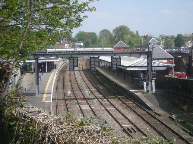
The walk starts in the town centre near the train station and the bus station. You then head south through the town, passing the market and the National Trust's Sunnycroft . The Victorian house gives an insight into the lives of a pre first world war brewer and his family. There's also a tea room and a beautiful garden for a stroll.
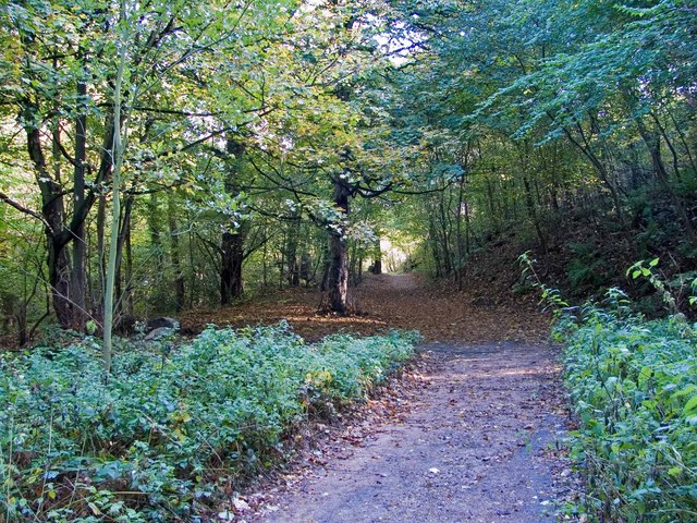
The route continues south before crossing over the motorway to enter The Ercall. The geologically fascinating nature reserve includes some impressive ancient rocks, bluebell woods and interesting wildlife.
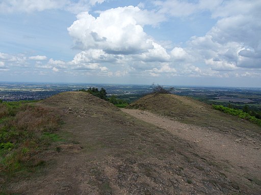
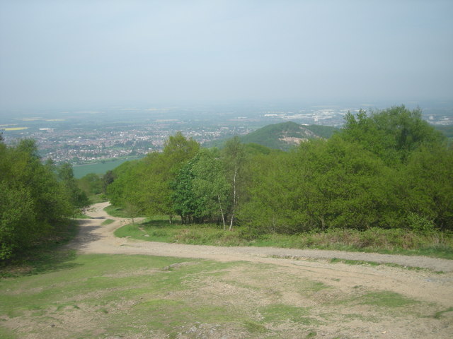
Continue south west through the woods and you will pass the pretty reservoir at Lawrence's Hill before climbing to the Wrekin. The distinctive hill is something of a local landmark and one of the most popular walking attractions in the county. From the 407 m (1,335 ft) summit there are marvellous views over 17 counties on a clear day.
This last section follows part of the Shropshire Way. The long distance waymarked footpath could be used to extend your walking in the area. You could follow it south to visit nearby Telford where you can pick up the Ironbridge Way.
Please scroll down for the full list of walks near and around Wellington. The detailed maps below also show a range of footpaths, bridleways and cycle paths in the area.
Wellington Ordnance Survey Map  - view and print off detailed OS map
Wellington Open Street Map  - view and print off detailed map
*New* - Walks and Cycle Routes Near Me Map - Waymarked Routes and Mountain Bike Trails>>
Wellington OS Map  - Mobile GPS OS Map with Location tracking
Wellington Open Street Map  - Mobile GPS Map with Location tracking
Walks near Wellington
- The Ercall - This small hill near The Wrekin has some nice walking trails to follow through Ercall Woods
- The Wrekin - This popular circular walk takes you to the summit of this iconic Shropshire Hill
- Aqualate Mere - Enjoy a peaceful walk through this lovely nature reserve near Newport on the Shropshire/Staffordshire border
- Telford - This Shropshire based town has a number of long distance trails passsing through the area
- Ironbridge Way - Starting in Leegomery head south to the historic Ironbridge on this 8 mile walk through Shropshire
- Benthall Hall - This circular walk near Ironbridge visits the Shropshire village of Benthall and the historic Benthall Hall.
- Shifnal - This walk from the town heads through the countryside to visit the historic town of Ironbridge on the River Severn
- Granville Country Park - This pretty nature reserve in Telford includes copses, heaths, grasslands, pools, scrub, wet woodlands and oak capped mounds
- Badger Dingle - This walk visits the delightful Badger Dingle Waterfall in the Shropshire village of Badger.
- Albrighton - This large Shropshire based village is located close to Telford and Bridgnorth
- Newport - This Shropshire based market town sits close to the border with Staffordshire in Telford and Wrekin.
- Worfield - This little Shropshire village has some pleasant walks through the River Worfe Valley to try
Pubs/Cafes
Back in the town the Pheasant Inn is in a nice place for some rest and refreshment. They serve good food and have a decent selection of ales. There's also a good sized garden for the warmer months. You can find them at 54 Market Street, TF1 1DT.
For some history head to the Old Orleton - a 17th century former coaching inn. The Grade II listed pub can be found at Holyhead Road, with postcode TF1 2HA for your sat navs.
Dog Walking
The woodland and hills are great for fit dogs. The Pheasant Inn mentioned above is also dog friendly.
Further Information and Other Local Ideas
For more walking ideas in the area see the Shropshire Hills Walks page.
Photos
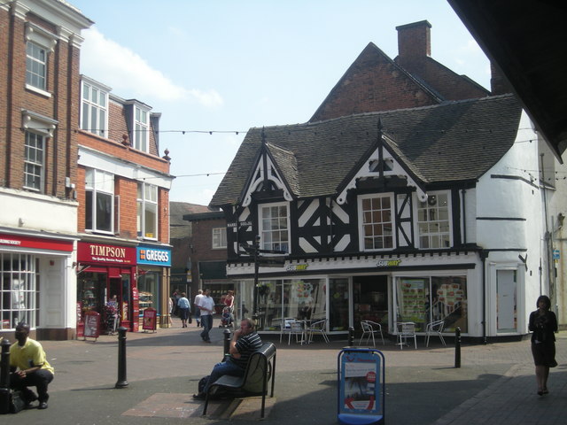
Wellington Town Centre. The town has significant literery connections. Poet and author Philip Larkin began his professional life at the library and wrote two novels here.
Unconformity at quarries at the south end of the Ercall. Pre-Cambrian Granophyre (Pink) is unconformably overlain by Cambrian Wrekin quartzite, which has been tilted to the right.
