West Chiltington Walks

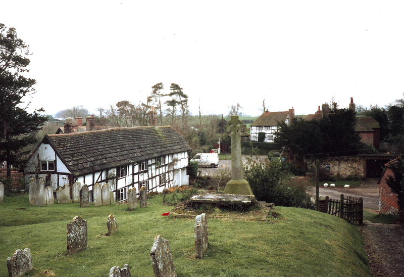
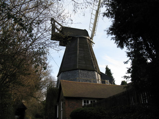
 This delightful little Sussex village has a number of pretty cottages with well kept gardens, a smock windmill, 17th century stocks, winding lanes and an ancient 12th century church to admire.
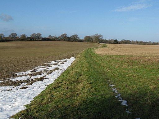
This circular walk from the village visits neighbouring Thakeham and explores the farmland surrounding the village.
The walk starts in the village centre and heads east towards Oakwood Farm before following a country bridle track south east to Thakeham. You can then follow footpaths west to Southlands Farm and Meer's Farm before turning north and then east to return to West Chiltington.
Postcode
RH20 2JN - Please note: Postcode may be approximate for some rural locationsWest Chiltington Ordnance Survey Map  - view and print off detailed OS map
West Chiltington Open Street Map  - view and print off detailed map
West Chiltington OS Map  - Mobile GPS OS Map with Location tracking
West Chiltington Open Street Map  - Mobile GPS Map with Location tracking
Walks near West Chiltington
- Southwater Country Park - Enjoy peaceful lakeside walking at this pretty country park in Horsham
- Downs Link - This is a terrific walking or cycling path running from St Martha's Hill in Guildford to Shoreham by Sea
- St Leonard's Forest - This large area of woodland is located just to the east of Horsham
- Billingshurst Canal and River Walk - A circular walk in Billingshurst taking in the Wey and Arun Canal and the River Arun
- Henfield - This large village in West Sussex has some nice riverside and country trails to try
- Storrington - This picturesque small town in West Sussex is in a nice position on the northern edge of the South Downs
- Pulborough - This large village is located on the northern edge of the South Downs in the Horsham district of West Sussex
- Wey South Path - Follow the Wey River and the Wey and Arun Canal on this wonderful waterside walk through Surrey and Sussex
- Amberley Circular Walk - The delightful village of Amberley is located at the foot of the South Downs, in the Horsham District of West Sussex
- Amberley to Arundel - A popular riverside walk along the River Arun from Amberley to Arundel
- Parham House - Explore the parkland and gardens surrounding this Elizabethan House near Storrington and Amberley
- Rackham Woods - This circular walk explores Rackham Woods on the South Downs, in the Horsham District of West Sussex.
- Slindon Estate - The Slindon Estate is a fantastic place for walkers and cyclists with miles of footpaths and bridleways to follow through the 1400 hectare estate
- Eartham Woods - This large area of beech woodland near Slindon has some nice footpaths to follow
- Storrington - This picturesque small town in West Sussex is in a nice position on the northern edge of the South Downs
- Knepp Castle - The Knepp Castle Estate is a fine place for walking with miles of trails to follow
Pubs/Cafes
The Queens Head is a nice place for some post walk refreshments. They do a fine Sunday roast and can be found at the Hollow with postcode RH20 2JN.
Further Information and Other Local Ideas
Head north east and you could explore the expansive Knepp Castle estate which is one of the walking highlights of the area.
For more walking ideas in the area see the Sussex Walks page.


