Whatstandwell Walks
![]()
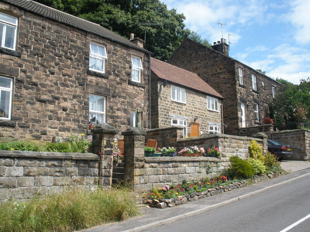
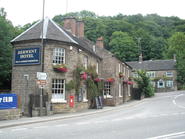
![]() This Derbyshire based village is located on the River Derwent in the Amber Valley area of the county.
This Derbyshire based village is located on the River Derwent in the Amber Valley area of the county.
This circular walk from the village visits some of the highlights of the area including the Cromford Canal and the viewpoint at Crich Stand. You'll also visit the neighbouring village of Crich, known as the location for the ITV series Peak Practice and the wonderful Crich Tramway Village. You can start and end the walk from Whatstandwell railway station which is located on the Derwent Valley Line from Derby to Matlock.
Highlights include the climb to the memorial tower at Crich Stand where you can enjoy some excellent views over the area. The tramway village in Crich is set within a recreated period village with over 60 old trams and tram depots.
Postcode
DE4 5EE - Please note: Postcode may be approximate for some rural locationsWhatstandwell Ordnance Survey Map  - view and print off detailed OS map
Whatstandwell Open Street Map  - view and print off detailed map
Whatstandwell OS Map  - Mobile GPS OS Map with Location tracking
Whatstandwell Open Street Map  - Mobile GPS Map with Location tracking
Walks near Whatstandwell
- Crich - This pretty village in Derbyshire is known as the location for the setting for the ITV series Peak Practice and the Crich Tramway Village
- Cromford Canal - Enjoy a waterside stroll along the Cromford Canal on this easy walk in Derbyshire
- Derwent Valley Heritage Way - Follow the River Derwent through the Derbyshire Peak District on this stunning walk
- Shining Cliff Woods - Enjoy waymarked walking trails through this peaceful woodland near Ambergate
- Matlock - The county town of Matlock is a great base for exploring the south eastern edge of the Peak District
- Heights of Abraham - Ride a cable car to the Hilltop Park and enjoy magnificent views of the Derwent Valley and surrounding Peak District at this major attraction in Matlock
- Ambergate - This Derbyshire based village is notable as the point where the River Amber joins the River Derwent
- High Tor Matlock - This short climb takes you to High Tor hill between Matlock and Matlock Bath. The impressive limestone crag is just over a mile from the town centre and the train station
Pubs/Cafes
The Family Tree is a great place to relax after your walk. The cafe is in a great location on the banks of the River Derwent. They offer breakfasts, lunches, Afternoon tea, delicious home-made cakes and refreshing beverages. You can find them on the Derby Road at postcode DE4 5HG for your sat navs.
Further Information and Other Local Ideas
For a longer walk you could also visit Holloway to the north. See the video below for more details.
Photos
Cromford Canal at Whatstandwell. The bridge carries the B5035 over the long-disused canal, which is now an excellent wildlife refuge and has been declared a Site of Special Scientific Interest.


