Whitley Bay to Tynemouth
![]()
![]() Enjoy a coastal walk along the North East coast from Whitley Bay to Tynemouth.
Enjoy a coastal walk along the North East coast from Whitley Bay to Tynemouth.
It's about a three mile walk with nice beaches, bays and cliffs to admire.
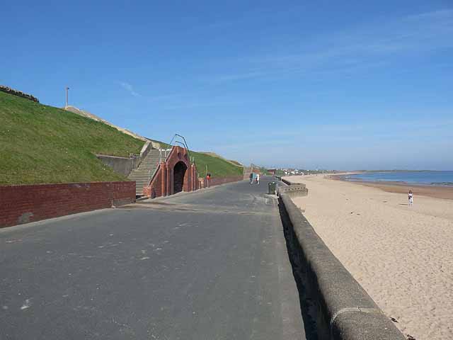
The walk starts from Whitley Sands and heads south to Cullercoats Bay and the beach at Long Sands. You then pass Sharpness Point before arriving at Tynemouth Castle. The fascinating castle includes moated castle-towers, a gatehouse, a keep and the ruins of a Benedictine priory. It dates from the 13–14th century and is situated on a dramatic headland overlooking Tynemouth Pier. You can explore the grounds for a fee payed to English Heritage.
After leaving the castle you continue past Tynemouth Pier which is a nice place for an afternoon stroll. It stretches out to sea for about 900 yards (810 metres). There's an impressive lighthouse at the end of the pier and nice views back up to the castle and the mouth of the River Tyne.
To extend your walk catch the ferry over to the South Shields and continue up the coast to Souter Lighthouse and Whitburn Coastal Park. Here you can also visit the Leas with its two and a half miles of magnesian limestone cliffs, wave-cut foreshore and coastal grassland.
Whitley Bay to Tynemouth Ordnance Survey Map  - view and print off detailed OS map
Whitley Bay to Tynemouth Open Street Map  - view and print off detailed map
Whitley Bay to Tynemouth OS Map  - Mobile GPS OS Map with Location tracking
Whitley Bay to Tynemouth Open Street Map  - Mobile GPS Map with Location tracking
Pubs/Cafes
At the end of the walk head to the Gibraltar Rock for a rest and some refreshments. The pub is located in an excellent spot with views to the coast, the ruined Tynemouth castle and the priory. They have a popular carvery and also serve fine fish and chips.
You can find them on East Street with a postcode of NE30 4EB for your sat navs.
Further Information and Other Local Ideas
Head north along the coast and you will soon come to the neigbouring village of Seaton Sluice. Here you can visit the wildlife rich St Mary's Head Nature Reserve where there's a lighthouse and fine views back to Whitley Bay. There's also the National Trust's Seaton Delaval Hall, a historic Georgian property with some lovely grounds and gardens.
Cycle Routes and Walking Routes Nearby
Photos
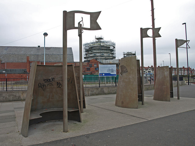
Sandcastles, Whitley Bay. These metal sculptures provide a cold seat with some protection from the winds. The refurbishment of the Spanish City Dome continues in the background.


