Wild Boar Fell Walk
![]()
![]() This circular walk climbs Wild Boar Fell in the Mallerstang area of the Yorkshire Dales National Park. It's one of the best climbs in the Dales with extensive views from the summit.
This circular walk climbs Wild Boar Fell in the Mallerstang area of the Yorkshire Dales National Park. It's one of the best climbs in the Dales with extensive views from the summit.
You can start the walk from the small parking area at The Thrang, off the B6259. It's located just to the south of Mallerstang and Outhgill which is another possible start point, though parking is limited here. You could also start from Pendragon Castle, a little further north, as in the video below.
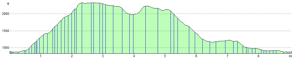
From the parking area you pick up a section of the Pennine Bridleway to take you south towards Lock Hill. Here you turn west to High Dolphinsty where you then turn south to climb to the fell summit. You'll pass the wonderful cliffs at The Nab before reaching the 2,323 ft (708 m) summit. Here you will find a series of cairns with fantastic views over the Eden Valley and Mallerstang. The Howgills, Pennines, the Lake District fells, the Yorkshire Three Peaks can also all be seen and, on a clear day, there is a glimpse of the coast at Morecambe Bay. Just to the west of the summit you can take a small detour and visit the pretty Sand Tarn.
After taking in the views, the route descends to Swarth Fell and Stubbing Rig before crossing the River Eden. Around here you will pass the impressive Hell Gill Force, the highest waterfall on the river. You then head north along Slade Edge with a riverside section leading you back to Lock Hill and The Thrang.
If you enjoy this climb then head to the nearby Nine Standards Rigg to extend your walking in the area. Here you can enjoy more great views of Cross Fell Walk, Great Dun Fell and the Howgills.
You could also follow the long distance Pennine Journey north from The Thrang. It will take you to the ruins of the 12th century Pendragon Castle and along the river to Kirkby Stephen.
Wild Boar Fell Ordnance Survey Map  - view and print off detailed OS map
Wild Boar Fell Open Street Map  - view and print off detailed map
Wild Boar Fell OS Map  - Mobile GPS OS Map with Location tracking
Wild Boar Fell Open Street Map  - Mobile GPS Map with Location tracking
Further Information and Other Local Ideas
Near the hill there's the interesting town of Brough to explore. Here you'll find the historic ruins of the 11th century Brough Castle and some nice trails along the Swindale Beck.
For more walking ideas in the area see the Howgills Walks page.
Cycle Routes and Walking Routes Nearby
Photos

River Eden at Thrang Bridge, route start

Wild Horses on the fell

The Nab Cliffs

Approaching the summit

Sand Tarn, just to the west of the summit

Blackbed Scar

Near High Dolphinsty

View up to the Nab
Elevation Profile