Clayton Vale Park MTB and Walks
![]()
![]() This large park and nature reserve in Manchester has miles of walking paths and some great mountain bike trails to try. You can start off at the National Cycling Centre in Philips park just to the east of Manchester city centre. From here you can pick up the mountain bike trails through Clayton Vale. There's 12km of colour coded trails for all abilities. The red easy trail is a great one for families with gentle, rollable, rideable features. At the other end of the scale is the black graded ride which is for expert mountain bikers. It has rocky sections and is tight, twisty and very challenging. In the middle the red trail includes rock slabs and gnarly rock gardens.
This large park and nature reserve in Manchester has miles of walking paths and some great mountain bike trails to try. You can start off at the National Cycling Centre in Philips park just to the east of Manchester city centre. From here you can pick up the mountain bike trails through Clayton Vale. There's 12km of colour coded trails for all abilities. The red easy trail is a great one for families with gentle, rollable, rideable features. At the other end of the scale is the black graded ride which is for expert mountain bikers. It has rocky sections and is tight, twisty and very challenging. In the middle the red trail includes rock slabs and gnarly rock gardens.
Regional Cycle Route 86 also runs through the reserve. It's a nice ride along the River Medlock. This is the route shown below but you can see all the other trails on the Open Street Map link below.
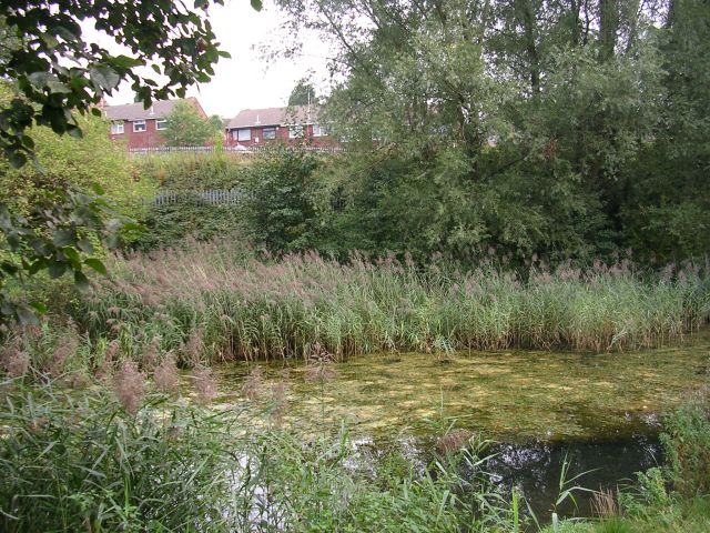
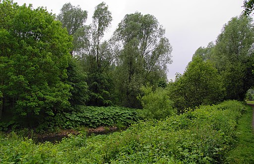
The reserve is also great for walkers with the Medlock Valley Way passing through. In the reserve you can enjoy riverside paths, woodland trails, ponds and a variety of wildlife.
To extend your outing you could continue east along this long distance path and visit Medlock Vale, Medlock Hall and Daisy Nook Country Park. The Ashton Canal also passes by the National Cycling Centre. You can pick this up and head to Ashton-under-Lyne.
Postcode
M11 4DQ - Please note: Postcode may be approximate for some rural locationsPlease click here for more information
Clayton Vale Ordnance Survey Map  - view and print off detailed OS map
Clayton Vale Open Street Map  - view and print off detailed map
*New* - Walks and Cycle Routes Near Me Map - Waymarked Routes and Mountain Bike Trails>>
Clayton Vale OS Map  - Mobile GPS OS Map with Location tracking
Clayton Vale Open Street Map  - Mobile GPS Map with Location tracking
Pubs/Cafes
Consider extending the route and heading along the Ashton Canal for a short stretch to visit the impressively named Strawberry Duck in Clayton. It's a friendly pub with an open fire and a lovely beer garden next to the canal. You can find it at 76 Crabtree Lane with a postcode of M11 4GU for your sat navs.
Dog Walking
The woods are a nice place for a dog walk and you will probably see other owners with their pets on the route.
Further Information and Other Local Ideas
Just a couple of miles to the north there's the noteworthy Boggart Hole Clough. This attractive park includes some impressive steep ravines, a boating lake, a visitor centre, bike hire and good surfaced paths for cyclists.
The long distance Tameside Trail passes through the area. The 30 mile circular walk explores several of the highlights of the River Tame Valley.


