Coate Water Country Park

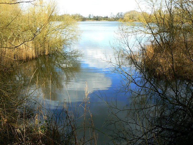
 This is a short circular walk around the delightful Coate Water Country Park in Swindon. The walk begins at the car park and takes you around the 70-acre lake and through the wildflower meadows. The park is a great place to bird watch with Herons, Shags and Grebes among the visitors to the lake. Also look out for deer and foxes in the wildflower meadows. The park also has a Ranger Centre and Information Point and a pitch and putt.
Although the route below is devised for walkers the park also has a cycle path running along the lake. For more details visit the Information Point at the car park.
To extend your outing you could pick up the Chiseldon and Marlborough Railway Path from the village of Chiseldon. The climb to Liddington Hill also starts from Chiseldon. It's a nice climb which includes a visit to Liddington Castle Hill fort which dates from 7th century BC.
Postcode
SN3 6AA - Please note: Postcode may be approximate for some rural locationsCoate Water Country Park Ordnance Survey Map  - view and print off detailed OS map
Coate Water Country Park Open Street Map  - view and print off detailed map
Coate Water Country Park OS Map  - Mobile GPS OS Map with Location tracking
Coate Water Country Park Open Street Map  - Mobile GPS Map with Location tracking
Pubs/Cafes
There's an on site cafe at the park selling a good range of meals and snacks.
Dog Walking
The parkland and woodland areas are ideal for a dog walk. You will probably see plenty of other owners with their pets on your visit.
Further Information and Other Local Ideas
Right on the northern edge of the park you'll find the Richard Jeffries Museum. Jeffries was a Victorian nature writer with a passion for the English countryside. He even gave us a name for it all: wild life. He was born in Coate at the delightful 17th century thatched house which is now a museum to his life and work. The house is also surrounded by lush gardens making it a lovely place for a stroll after visiting the park. You can find the museum at postcode SN3 6AA, just to the north east of the lake.
Just a couple of miles south of the park you can pick up The Ridgeway National Trail where there are good cycling and walking trails. You could pick up the path and visit the hill fort at Barbury Castle Country Park and the White Horse hill figure at Hackpen Hill.
For more walking ideas in the area see the North Wessex Downs Walks page.
Cycle Routes and Walking Routes Nearby
Photos
This small pond, separate from the main lake, is home to a variety of waterfowl including swans, moorhens, tufted ducks and mallard.
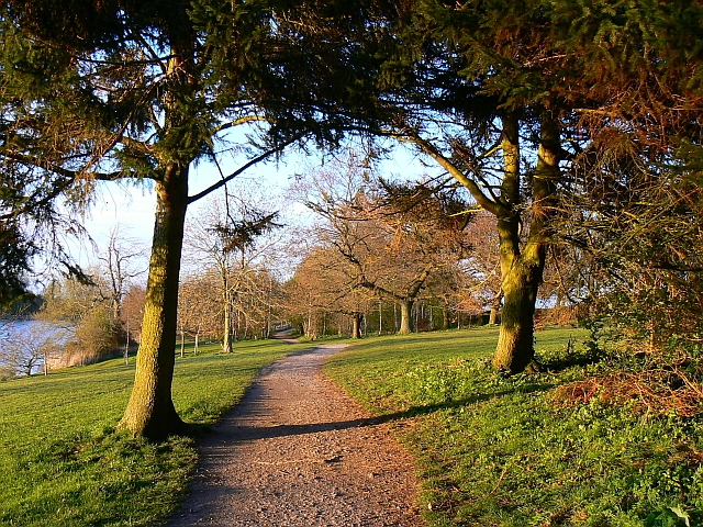
This is a view from a small arboretum at the north end of the country park to the south where more mature trees fringing the lake can be seen in the distance.
View to the surrounding hills from the park. The earthwork on the top right of the hill on the skyline is Liddington Castle, an iron age hillfort at SU208797. The bungalow in the centre of the lower half of the image is at SU184820. In the extreme bottom left of the image is the outfall from the lake from where water once flowed to the long-gone canal system in Swindon. It now flows to Shaftesbury Avenue lake.
Track of miniature railway at the park. Tucked away in a corner of the park is the miniature railway, which is owned by the North Wilts Model Engineering Society. There is public running on Sunday afternoons, weather permitting. As can be seen from the picture, the track is dual gauge. This permits the running of trains of both five inch and seven and a quarter inch gauge. The railway has been much developed and extended over the years.


