Erewash Canal
![]()
![]() Follow the Erewash canal through south Derbyshire on this waterside cycling and walking route. The canal runs from Trent Lock near Long Eaton to the Langley Mill (Great Northern) basin. You can follow the towpath all the way on your bike or on foot. It's a nice easy route that runs for about 12 miles so it's a good family cycle ride or long walk. On the way you'll pass old mills, pretty locks and a number of stone bridges. The areas around Nutbrook Junction and Trowell Marsh are nature reserves where you can look out for a wide variety of wildlife. There's also nice views of the River Erewash and the surrounding countryside. The canal forms part of the larger Erewash Valley Trail so it's easy to extend your exercise on this circular route.
Follow the Erewash canal through south Derbyshire on this waterside cycling and walking route. The canal runs from Trent Lock near Long Eaton to the Langley Mill (Great Northern) basin. You can follow the towpath all the way on your bike or on foot. It's a nice easy route that runs for about 12 miles so it's a good family cycle ride or long walk. On the way you'll pass old mills, pretty locks and a number of stone bridges. The areas around Nutbrook Junction and Trowell Marsh are nature reserves where you can look out for a wide variety of wildlife. There's also nice views of the River Erewash and the surrounding countryside. The canal forms part of the larger Erewash Valley Trail so it's easy to extend your exercise on this circular route.
You start off at Trent Lock on the border of Derbyshire, Leicestershire and Nottinghamshire. It's a major canal junction where several significant waterways meet including the River Soar, the Trent and Mersey Canal, the River Trent and the Erewash Canal. The canal then weaves its way through the town of Long Eaton to Sandiacre. You continue north to Ilkeston, passing Gallows Inn and the impressive Bennerley Viaduct, before finishing at Langley Mill at the basin of the Erewash Canal.
You can virtually follow part of the route along the canal from Trent Lock by clicking on the google street view link below.
To continue your walking in the area you can visit the lovely Attenborough Nature Reserve which is located near the start of the canal at Long Eaton. You can follow the Trent Valley Way along the River Trent to reach the reserve. The Beeston Canal can also be picked up at the eastern end of the reserve, next to the pretty Beeston Lock.
The canal also forms part of the Nutbrook Trail Cycle Route which runs up to Shipley Country Park on a dismantled railway line.
Erewash Canal Ordnance Survey Map  - view and print off detailed OS map
Erewash Canal Open Street Map  - view and print off detailed map
Erewash Canal OS Map  - Mobile GPS OS Map with Location tracking
Erewash Canal Open Street Map  - Mobile GPS Map with Location tracking
Explore the Area with Google Street View 
Pubs/Cafes
The aptly named Trent Lock pub can be found at the start of the route. There's a great menu and a lovely, lage beer garden to sit out in. You can find it at the lock with a postcode of NG10 2FY.
The Steamboat Inn is also located at Trent Lock and another nice place to go for refreshments. It's located next to both the Erewash Canal and the River Trent, dating back over 200 years to when it was well placed to quench the thirsts of passing working boatmen. Today, it is perfectly placed to serve not just the needs of leisure boaters but also those of other modern day recreation seekers such as walkers, cyclists - and those just having a day out by the water. It's dog friendly and a discount on real ales is available for CAMRA members! There's lots of waterside outdoor seating for warmer days as well. You can find it at postcode NG10 2FY for your sat navs.
Further Information and Other Local Ideas
Just east of Ilkeston there's some more nice waterside trails along the Nottingham Canal Nature Reserve at Cossall. The pretty village also includes a noteworthy 13th century church and the 17th century Willoughby Almshouses.
Cycle Routes and Walking Routes Nearby
Photos
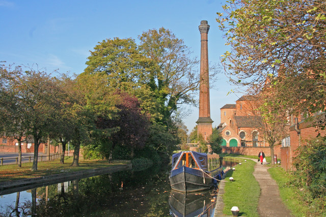
Canal looking north from Sandiacre bridge. The canal was built in 1777-1779 to carry coal from mines on either side of the Erewash valley to Leicestershire. Padmore Moorings are on the left adjacent to Town Street. Springfield Mill with its noticeable chimney was built in 1888 as a lace factory. The towpath is part of an off-road cycle route named the Nutbrook Trail.
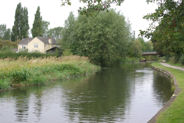
Trentlock. The river yacht and houseboats moored on the opposite bank are hardly typical of the canal network, but Trentlock is a place where river and canal craft mix. This is the attractive start of the almost 12-mile long Erewash Canal; much of the route runs through an urban and industrial landscape but it is nevertheless a fascinating waterway.
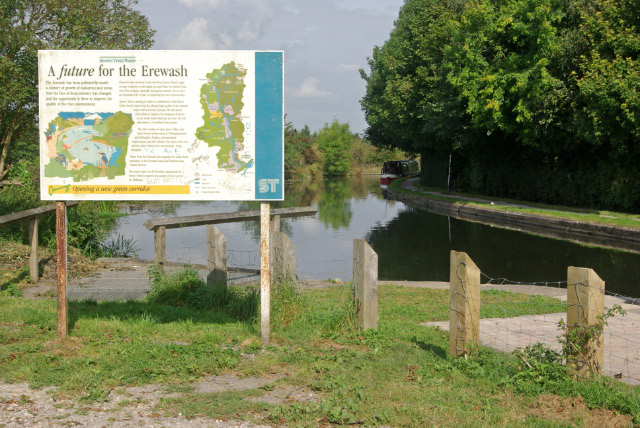
Information noticeboard at Shipley Gate. The Canal curves sharply to the right just north of Shipley Lock before crossing over the River Erewash. Severn Trent Water has provided this rather oversized information notice describing its efforts to improve the quality of the river - this is perhaps somewhat confusing as it stands adjacent to the canal.
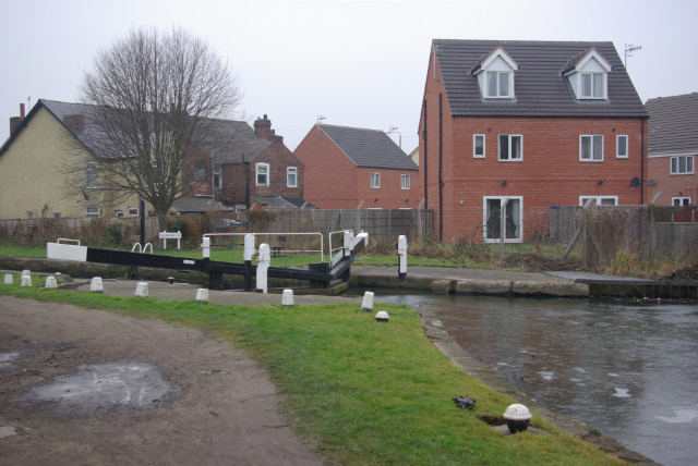
Gallows Inn Lock. The lock is adjacent to the pub of the same name, a grim reminder that this was once a place where criminals were publicly executed. Compare this view with; new houses have appeared in the four years since that picture was taken.
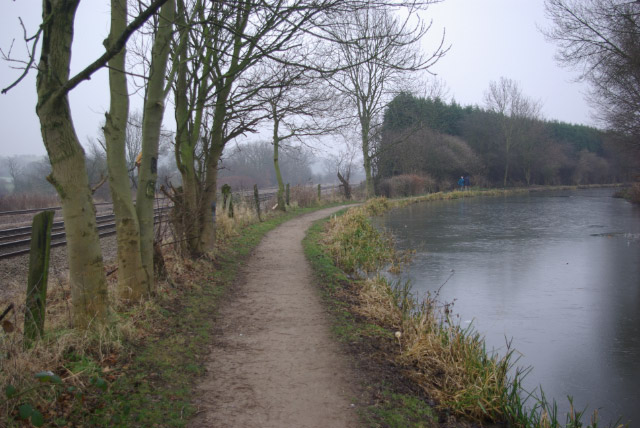
Larklands. Canal and railway come close together here on the eastern outskirts of Ilkeston. The railway is used by passenger services between Nottingham and Sheffield as well as many freight trains. The canal runs from the River Trent at Trentlock northwards to the basin at Langley Mill; originally built primarily as an outlet for coal mined in the Nottinghamshire/Derbyshire border area, it is now used exclusively for leisure boating. Not that there was any sign of any boats moving on this cold New Year's Day, however.
