Grassmoor Country Park
![]()
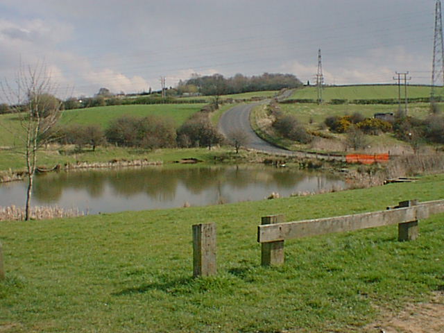
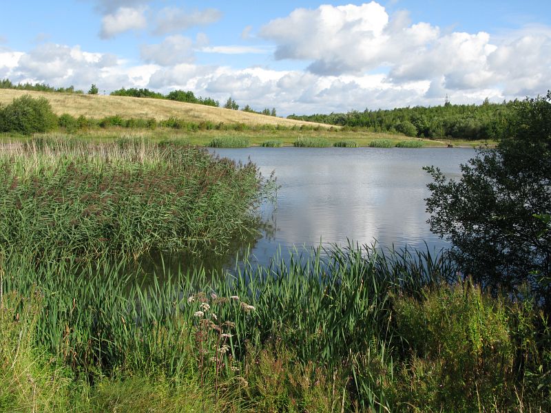
![]() Enjoy meadows and lagoons in this pretty country park near Chesterfield. The park is a haven for wildlife - look out for water voles, grass snakes and butterflies. Grassmoor is the start of the Five Pits Trail so there is scope for continuing your walk or cycle.
Enjoy meadows and lagoons in this pretty country park near Chesterfield. The park is a haven for wildlife - look out for water voles, grass snakes and butterflies. Grassmoor is the start of the Five Pits Trail so there is scope for continuing your walk or cycle.
If you follow the trail east you will soon come to Williamthorpe Ponds Nature Reserve. It makes a nice extension to your outing with ponds, reed beds, maturing woodland and lots more wildlife to see.
Postcode
S42 5DA - Please note: Postcode may be approximate for some rural locationsGrassmoor Country Park Ordnance Survey Map  - view and print off detailed OS map
Grassmoor Country Park Open Street Map  - view and print off detailed map
Grassmoor Country Park OS Map  - Mobile GPS OS Map with Location tracking
Grassmoor Country Park Open Street Map  - Mobile GPS Map with Location tracking
Pubs/Cafes
Refreshments are available in the car park at weekends and bank holidays. You could also head into Grassmoor village and visit the Sportsman Inn. You can find them just to the south east of the park at postcode S42 5EJ.
Dog Walking
The park is popular with dog walkers with lots of nice trails to explore.
Further Information and Other Local Ideas
To continue your walking in the area head into Chesterfield where you can enjoy some waterside walking along the Chesterfield Canal. Also nearby are the Linacre Reservoirs where there's lakeside trails around the three attractive reservoirs.
To the south east there's the popular Ashover Rock Walk which climbs to a fine viewpoint above the settlement.
Just to the west there's the worthy village of Wingerworth where there are some more nice waterside trails along the Wingerworth Lido and the Great Pond of Stubbing.
For more walking ideas in the area see the Derbyshire Walks page.
Cycle Routes and Walking Routes Nearby
Photos
Junction on the Five Pits Trail. Looking eastwards on the Five Pits Trail towards Wolfie Pond. The left hand path leads around the northern perimeter of Wolfie Pond and onto Williamthorpe Ponds. The right hand path leads down the western edge of Wolfie pond towards the road crossing at Highfields


