Langdale Forest
![]()
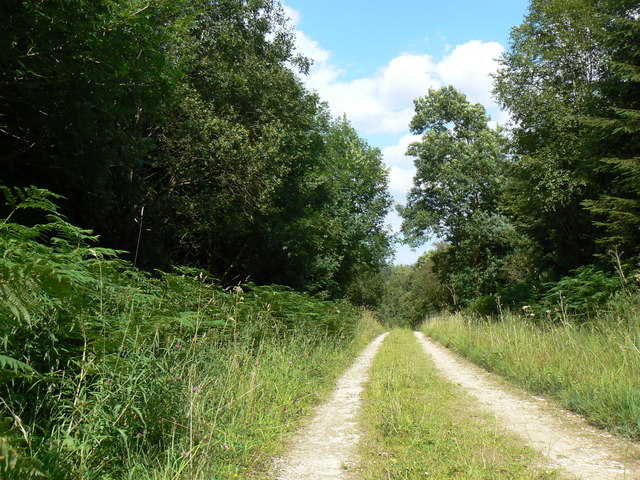
![]() This large forest in the North Yorks Moors has mountain bike trails and walking routes to try. The coniferous forest has a number of pretty streams and lots of wildlife to look out for. Keep your eyes peeled for nightjar, bullfinch, adders, lizards and the pearl bordered fritillary butterflies.
This large forest in the North Yorks Moors has mountain bike trails and walking routes to try. The coniferous forest has a number of pretty streams and lots of wildlife to look out for. Keep your eyes peeled for nightjar, bullfinch, adders, lizards and the pearl bordered fritillary butterflies.
The Blue Man Walk passes through the forest so you can pick this up to extend your walk. You can follow the trail through the North York Moors to Dalby Forest and Broxa Forest. Also nearby is the expansive Wykeham Forest and the fascinating sandstone sculptures at Bridestones Nature Reserve.
Harwood Dale Forest lies just to the east of the forest and has nearly 2000 acres of woodland trails to try. The pretty village and beck are also well worth exploring.
Postcode
YO13 0LL - Please note: Postcode may be approximate for some rural locationsLangdale Forest Ordnance Survey Map  - view and print off detailed OS map
Langdale Forest Open Street Map  - view and print off detailed map
Langdale Forest OS Map  - Mobile GPS OS Map with Location tracking
Langdale Forest Open Street Map  - Mobile GPS Map with Location tracking
Further Information and Other Local Ideas
For more walking ideas in the area see the Yorkshire Walks, North York Moors Walks page.
Cycle Routes and Walking Routes Nearby
Photos
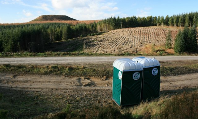
Clear Felling. Blakey Topping in the distance.


