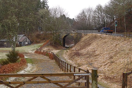
Rob Roy Way
![]()
![]() Follow in the footsteps of Robert Roy MacGregor, famous Scottish folk hero and outlaw of the early 18th century. The walk takes you across the Southern Highland of Scotland taking in some of the most beautiful countryside in the UK. Starting from Drymen on the West Highland Way it goes north east to finish in Pitlochry.
Follow in the footsteps of Robert Roy MacGregor, famous Scottish folk hero and outlaw of the early 18th century. The walk takes you across the Southern Highland of Scotland taking in some of the most beautiful countryside in the UK. Starting from Drymen on the West Highland Way it goes north east to finish in Pitlochry.
The path passes a series of beautiful Lochs including Loch Venachar, Loch Tay and Loch Earn. You will also pass a series of spectacular waterfalls such as the Falls of Dochart and The Falls of Moness.
There is also a waterside section along the River Tay with the Cairngorm mountains making a splendid backdrop.
Please click here for more information
Rob Roy Way Ordnance Survey Map  - view and print off detailed OS map
Rob Roy Way Open Street Map  - view and print off detailed map
Rob Roy Way OS Map  - Mobile GPS OS Map with Location tracking
Rob Roy Way Open Street Map  - Mobile GPS Map with Location tracking
Cycle Routes and Walking Routes Nearby
Photos
Lochan Allt a' Chip Dhuibh. On the Rob Roy Way from Aberfoyle. The notice reads "Stank - No Fishing "
View towards Aberfeldy. Looking down towards Aberfeldy from the Way above the Tay valley.
Stile on the Rob Roy Way near Inchmahome Priory, Loch Venachar and Loch Drunkie in the Loch Lomond and the Trossachs National Park.
Elevation Profile


