Walks around Peterborough

 There's lots of fairly easy walks to enjoy around the cathedral city of Peterborough. Three notable long distance trails run through the area and there's also river walks, country parks and nature reserves to visit.
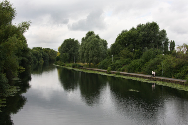
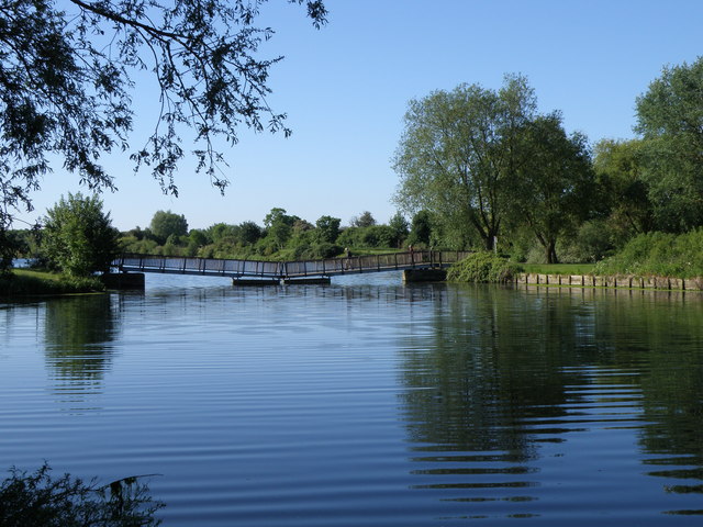
This riverside walk takes you from the city centre to Ferry Meadows Country Park along the River Nene. There's much to enjoy with flat waterside trails, pretty lakes, old bridges and views of the Nene Valley Steam Railway which runs along much of the route.
The walk starts on the river in the city centre, just to the south of the tourist information centre and train station. From here you can pick up a section of the Nene Way long distance trail to take you west along the river and into Nene Park. After a short while you will come to the Woodston Ponds Nature Reserve. Here you will find a lake with water birds such as grey herons, tufted ducks and pochards. There's also a reedbed which has pools and channels, with great crested newts and unusual species of water beetle to see.
You continue west through Thorpe Meadows where there is a Sculpture Park and a purpose built rowing lake.
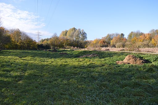
The next stage passes the water features of Orton Meadows before entering the splendid Ferry Meadows Country Park. You can follow various trails around the large lakes, pretty meadows and pockets of woodland. There's also two cafes where you can enjoy refreshments before the returning to the city centre the same way. Alternatively you could catch the Nene Valley Railway back.
To extend the walk you can continue west along the Nene Way to Wansford, Yarwell and Nassington. The path runs along the river with lovely views of the surrounding Cambridgeshire and Northamptonshire countryside.
Heading east will take you to Whittlesey where the long distance Hereward Way branches away from the Nene Way.
The city is located very close to the Great Fen where you can visit Holme Fen and look out for a huge variety of wildlife.
Peterborough Ordnance Survey Map  - view and print off detailed OS map
Peterborough Open Street Map  - view and print off detailed map
Peterborough OS Map  - Mobile GPS OS Map with Location tracking
Peterborough Open Street Map  - Mobile GPS Map with Location tracking
Walks near Peterborough
- Bedford Purlieus National Nature Reserve - These splendid ancient woods near Peterborough have miles of woodland walking trails to try
- Hereward Way - Starting in Oakham, in Rutland, follow the Herward Way through Stamford, Peterborough, Ely, and the Breckland forests to Thetford, in Norfolk
- Ferry Meadows Country Park - This super country park in Peterborough has several pretty lakes with cycling and walking trails running alongside the water's edge
- Castor Hanglands - Explore the woodland, limestone, wetland grassland and scrub in this large National Nature Reserve near Peterborough
- Crown Lakes Country Park - Enjoy a stroll around the pretty lakes in this country park in Peterborough
- Torpel Way - This walk runs from Peterborough to Stamford through countryside and agricultural land
- Fotheringhay - This pretty Northamptonshire village has some picturesque thatched cottages, an old castle motte and splendid views of the River Nene.
- Wansford - This picturesque Cambridgeshire village sits in a nice location on the River Nene, near the border with Northamptonshire
- Holme Fen - Explore the largest Silver Birch woodland in lowland England on this walk in Cambridgeshire
- Kings Cliffe Railway Walk - This walk takes you along the old disused railway line in the Northamptonshire village of King's Cliffe.
- Fineshade Woods - Top Lodge in Fineshade Woods has several waymarked cycling and walking trails
- Blatherwycke Lake - This walk visits the little Northamptonshire village of Blatherwycke where you can enjoy a stroll along the pretty lake
- Whittlesey Heritage Walk - This circular walk takes you to a series of historical sites in the Cambridgshire town of Whittlesey.
- Market Deeping - This Lincolnshire based market town is located on the River Welland in the South Kesteven district of the county, a few miles north of the city of Peterborough.
- Barnack Hills And Holes - This walk explores the unique landscape of the Barnack Hills and Holes National Nature Reserve in the Cambridgeshire village of Barnack.
Further Information and Other Local Ideas
The Peterborough Green Wheel is a great way of further exploring the city on a signed route. The fairly easy 20 mile circular trail visits Ferry Meadows, the River Nene Way and the villages of Marholm and Etton. It is suitable for both cyclists and walkers.
Head just a few miles north over the border into Lincolnshire and you could visit the interesting market town of Market Deeping. The historic town includes several 17th century stone buildings, a weekly market dating back to 1220 and a well known stone bridge from the mid 17th century. There's also pleasant walking trails along the River Welland to enjoy here.
For more walking ideas in the area see the Cambridgeshire Walks page.


