Watermead Country Park
![]()
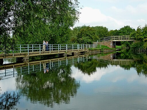
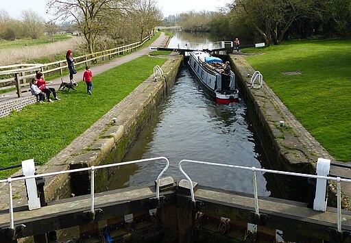
![]() This beautiful country park contains over 12 lakes and ponds, wildflower meadows, woodland, grassland and reedbeds set in 350 acres of parkland. Also running through the park are the River Soar and Grand Union Canal. It's a great place for a peaceful waterside cycle ride or walk, located just north of Leicester city centre with National Cycle Network Routes 6 and 48 running through the park. The park also contains the lovely Reedbed Nature Reserve which is a perfect place for bird watching.
This beautiful country park contains over 12 lakes and ponds, wildflower meadows, woodland, grassland and reedbeds set in 350 acres of parkland. Also running through the park are the River Soar and Grand Union Canal. It's a great place for a peaceful waterside cycle ride or walk, located just north of Leicester city centre with National Cycle Network Routes 6 and 48 running through the park. The park also contains the lovely Reedbed Nature Reserve which is a perfect place for bird watching.
To continue your exercise you could follow the Grand Union Canal towards Leicester or Loughborough. Our River Soar Walk visits the park by following the river from the lovely Abbey Park, located just to the south of Watermead.
Please click here for more information
Watermead Country Park Ordnance Survey Map  - view and print off detailed OS map
Watermead Country Park Open Street Map  - view and print off detailed map
Watermead Country Park OS Map  - Mobile GPS OS Map with Location tracking
Watermead Country Park Open Street Map  - Mobile GPS Map with Location tracking
Further Information and Other Local Ideas
Head south along the river and you could visit Aylestone Meadows. The large local nature reserve has more nice riverside trails with grazing horses and lot of wildlife to see.
If you head south east towards Oadby and Wigston there's a pleasant community orchard and pretty meadows to explore at Brocks Hill Country Park.
For more walking ideas in the area see the Leicestershire Walks page.
Cycle Routes and Walking Routes Nearby
Photos
Looking towards the Melton Road car park at the southern end of the Country Park. This clearly shows the proximity to the lakeside industrial estate in Thurmaston where a marina used by school groups has grown up. Sand and gravel have been extracted from the valley of the River Soar for many years. In the early 1980s the Leicestershire County, Leicester City and Charnwood Borough Councils joined forces to begin to reclaim the area’s derelict pits for recreation and nature conservation creating this important recreational facility for North East Leicester.


