Andover River and Lakes Walk
![]()
![]() This walk takes you around the Hampshire Town of Andover. The route runs from Watermill Park to the Anton Lakes Nature Reserve using a trail along the River Anton which runs through the town.
This walk takes you around the Hampshire Town of Andover. The route runs from Watermill Park to the Anton Lakes Nature Reserve using a trail along the River Anton which runs through the town.
You start off in the riverside Watermill Park, just to the south of the town centre. The park includes Rooksbury Mill, an old Grade II listed watermill which dates from the 16th century. The building and its associated structures are privately owned, but the surrounding land is owned by the Test Valley Borough Council and managed as a local nature reserve.
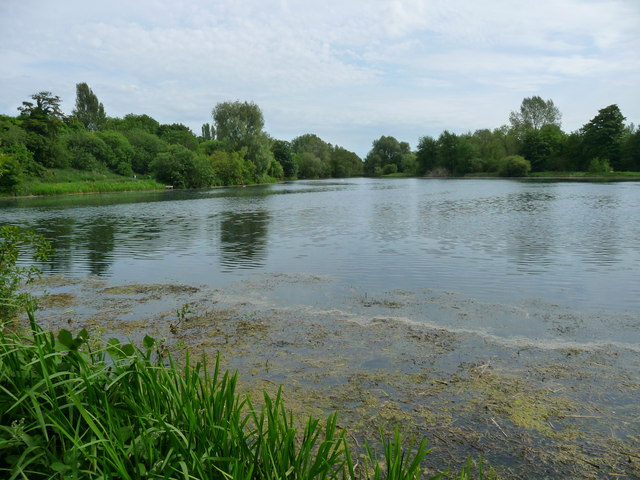
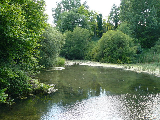
The route then heads north along Mill Lake, before picking up a sculpture trail along the River Anton, a tributary of the River Test. The path then heads through the town, eventually coming to the Anton Lakes Nature Reserve. There's nice footpaths to follow around the lakes where you can look out for a variety of birdlife including the wonderful great-crested grebe. There's also butterflies such as marbled white and gatekeeper, with notable flora including southern marsh orchids.
The Brenda Parker Way starts in Andover and makes up part of this route. It passes Anton Lakes so you could pick it up and cotinue west from the reserve to extend your walk. The trail will take you past the Charlton Lakes and then into the countryside around the village of Penton Mewsey. It eventually runs to Aldershot, passing through Fleet, Winchfield, Bramley, Tadley, Ecchinswell, Kingsclere, Highclere, Sidley Bottom, and Rag Copse on the way.
The town is located in the beautiful Test Valley which you can explore on the Test Way long distance trail. You can pick up the waymarked path just to the east of Andover, near to the delightful village of St Mary Bourne with its rows of picturesque thatched cottages and views of the Bourne Rivulet, a tributary of the River Test.
Just to the south of the town you can enjoy a climb to Danebury Hill Fort. The Iron Age Fort dates back to between 500BC-100BC and commands fine views over the area.
About two miles east of the town you will find Harewood Forest. There's miles of peaceful woodland walking trails to try here.


