Atherton Walks - Hulton Park

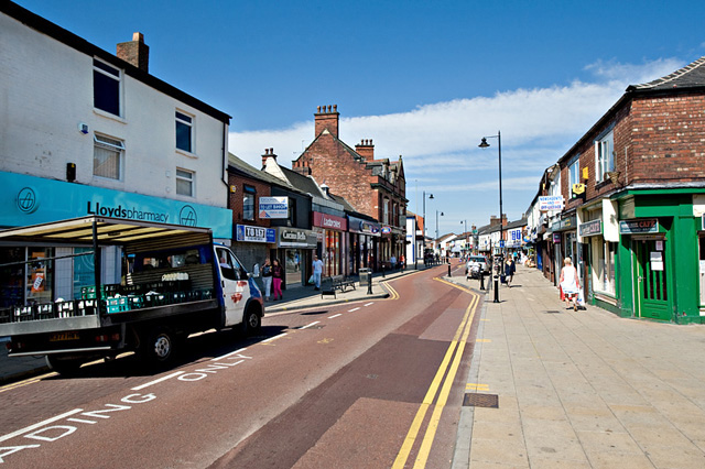
 The town of Atherton is based in Greater Manchester, near Wigan and Bolton.
This walk takes you around the Hulton Park Estate and New Park wood to the north of the town. Hulton Park is a landscape park dating from the early 19th century, and originally associated with Hulton Hall, which was demolished in 1958. Most of the land is now private property but a small section of New Park Wood is owned by Bolton Metropolitan Borough Council. Features in the park include peaceful woodland, lakes, ponds and views of the Mersey valley. You can also look out for wildlife such as woodland birds, deer and herons.
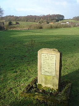
On the walk you will pass the Pretoria pit monument. It marks the site of a mining disaster in the early 20th century. In this area you can look out for evidence of the old mine workings and the colliery railway as well.
Other local walking highlights include the nearby Pennington Flash Country Park and Moses Gate Country Park. Both parks have some fine cycling and walking trails and are within easy reach of the town.
Atherton Ordnance Survey Map  - view and print off detailed OS map
Atherton Open Street Map  - view and print off detailed map
Atherton OS Map  - Mobile GPS OS Map with Location tracking
Atherton Open Street Map  - Mobile GPS Map with Location tracking
Walks near Atherton
- Pennington Flash Country Park - This 490 acre park is located in Leigh, Greater Manchester
- Moses Gate Country Park - This large country park in Bolton covers 750 acres and includes a number of splendid cycling and walking trails
- Smithills Country Park - Enjoy 2000 acres of cycling and walking trails in this large country park in Bolton
- Doffcocker Lodge - This short circular walk explores the Doffcocker Lodge Nature Reserve in Bolton.
- Rivington Pike - This popular walk climbs to the Rivington Pike viewpoint in the lovely Rivington Country Park, near Bolton.
- Winter Hill - Enjoy a walk to Winter Hill on the West Pennine Moors in Lancashire
- Rivington Country Park - This lovely country park is on the edge of the West Penine Moors and makes for a fine afternoon's cycling with its reservoirs, woods and splendid scenery
- High Rid Reservoir - This small reservoir in Bolton is a nice place for an easy walk.
- Turton Tower - This walk visits a notable historical landmark near Bolton
- Bolton Rotary Way Footpath - Enjoy industrial heritage, reservoirs, historic estates, memorials and country parks on this circular walk around Bolton
- Jumbles Country Park - Enjoy a short stroll around Jumbles Reservoir in this pretty country park in Bolton
- Clifton Country Park - This country park and nature reserve is located between Bolton and Manchester in Salford
- Elton Reservoir - Enjoy an easy circular walk around this pretty reservoir in Bury
- Blackleach Country Park - This country park in Walkden has nice footpaths to follow around the lake and through woodland
- Outwood Trail - This cycling and walking trail runs along a disused railway line from Radcliffe to Prestwich
- Entwistle Reservoir - This circular walk follows the waterside footpath around Turton and Entwistle Reservoir near Bolton in Lancashire
- Wayoh Reservoir - Enjoy an easy circular walk around this pretty reservoir near Bolton
- Chorley Canal Walk - Enjoy a waterside walk from Chorley to Adlington along a pleasant section of the Leeds and Liverpool Canal
- Belmont Reservoir - This walk visits Ward's Reservoir and Belmont Reservoir on the West Pennine Moors.
Starts the walk from the car park on Rivington Road just to the west of the village of Belmont - Witton Weavers Way - This circular walk starts and finishes in Witton Park near Blackburn
- Salford Trail - This circular walk explores the city of Salford on a long distance waymarked trail.
- Fishmoor Reservoir - This reservoir in Blackburn is a nice place for an easy stroll in the town.


