Battlesbridge Walks
![]()
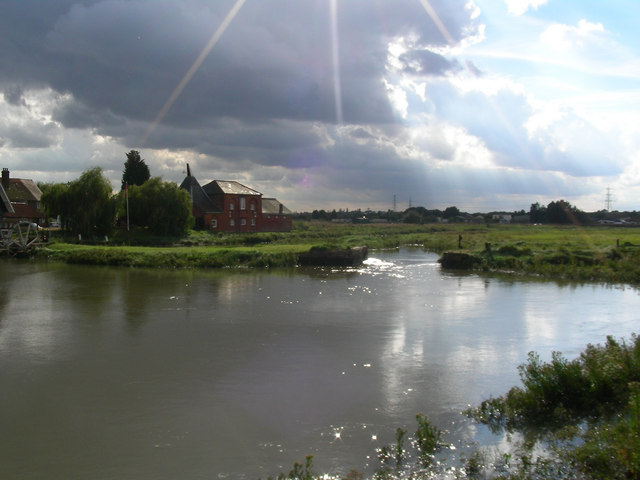
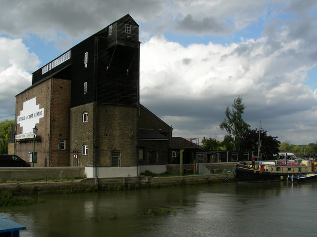
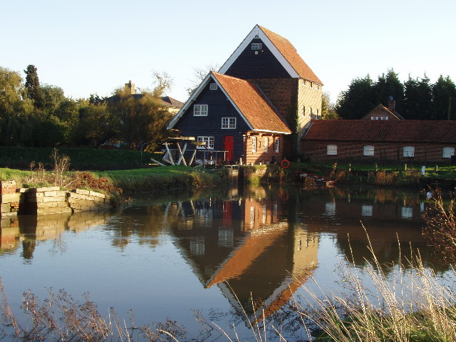
![]() This Essex based village has some nice local trails along the River Crouch and a well known antiques centre housed in a picturesque old mill.
This Essex based village has some nice local trails along the River Crouch and a well known antiques centre housed in a picturesque old mill.
It's a pleasant place for an easy stroll with nice riverside paths and some interesting old buildings to admire.
Postcode
SS11 7RE - Please note: Postcode may be approximate for some rural locationsBattlesbridge Ordnance Survey Map  - view and print off detailed OS map
Battlesbridge Open Street Map  - view and print off detailed map
Battlesbridge OS Map  - Mobile GPS OS Map with Location tracking
Battlesbridge Open Street Map  - Mobile GPS Map with Location tracking
Walks near Battlesbridge
- South Woodham Ferrers - This Essex based town has some nice waterside footpaths along the local creek and river to try
- Marsh Farm Country Park - This country park in South Woodham Ferrers has miles of splendid waterside walking trails to enjoy
- Hanningfield Reservoir - This large body of water near Billericay has some nice woodland walking trails at its southern end
- Norsey Woods - These lovely woods near Billericay have some good waymarked footpaths to try
- Hanningfield Reservoir - This large body of water near Billericay has some nice woodland walking trails at its southern end
- St Peters Way - Travel from Chipping Ongar to the 7th century St Peter's Chapel on St Peter's Flat on this walk through Essex.
The walk first heads to Maylandsea passing Hanningfield Reservoir and Purleigh on the way - Thorndon Country Park - This large country park is located near Brentwood in Essex and contains a number of fine woodland trails, ideal for walking or cycling
- Upminster - This East London town is located in a nice spot in the London Borough of Havering
- Hornchurch Country Park - Enjoy a walk or cycle through this large country park in Havering in the Ingrebourne Valley
- Ingatestone - This pretty Essex based village has some nice country trails to try
- Billericay - This Essex based town has some nice country walking trails, a popular local wood and a nearby reservoir to enjoy.
- Hockley Woods - Follow the peaceful walking trails through this large area of mixed woodland near Rayleigh in Essex
- Saffron Trail - A walk through the Essex countryside from the coast at Southend-on-Sea to Saffron Walden
- Wickford - This Essex based commuter town is located on the tidal River Crouch, within the Borough of Basildon
- Belhus Woods Country Park - Enjoy the pretty lakes and peaceful woodland trails in this country park near Ockendon and Dagenham.
Pubs/Cafes
The Barge Inn is a fine place for some post walk refreshment. They serve good food and have a lovely garden area for warmer days. You can find them at Hawk Hill at postcode SS11 7RE. The pub is also dog friendly.
Further Information and Other Local Ideas
Head east along the river and you could visit the lovely Marsh Farm Country Park near South Woodham Ferrers. Heading west will take you to Wickford where you can visit the Shotgate Thicket Nature Reserve and the pretty Wick Country Park.
For more walking ideas in the area see the Essex Walks page.
Photos
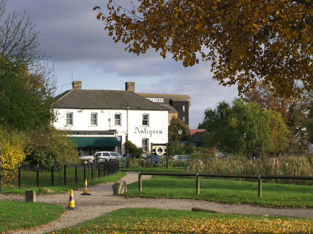
Battlesbridge - the 'antiques' village. The majority of the buildings in the entire centre of this village are now devoted to the sale of antiques.
