Black Moss Reservoir Walk Map
![]()
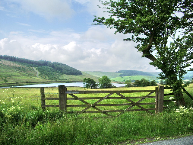
![]() Enjoy a waterside walk around these two reservoirs near the Lancashire village of Barley. There's lovely views across the water to the Forest of Bowland countryside and lots of water loving wildlife to see too. Look out for Tufted duck, Common goldeneye and Eurasian curlew as you make your way through the area.
Enjoy a waterside walk around these two reservoirs near the Lancashire village of Barley. There's lovely views across the water to the Forest of Bowland countryside and lots of water loving wildlife to see too. Look out for Tufted duck, Common goldeneye and Eurasian curlew as you make your way through the area.
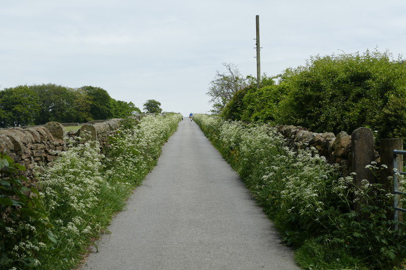
You can start your walk from the car park in Barley, about half a mile from the reservoirs. Follow footpaths north east and you will soon reach the lower reservoir where there's a nice trail running around the water.
During the walk you can enjoy splendid views towards Pendle Hill. You can extend your walk by following the Pendle Way to the hill summit for great views back down to the reservoirs.
You could also head due west from Barley and follow footpaths around the Ogden Reservoirs. The trail will eventually take you up to Boar Clough and Pendle Hill.
Black Moss Reservoir Ordnance Survey Map  - view and print off detailed OS map
Black Moss Reservoir Open Street Map  - view and print off detailed map
*New* - Walks and Cycle Routes Near Me Map - Waymarked Routes and Mountain Bike Trails>>
Black Moss Reservoir OS Map  - Mobile GPS OS Map with Location tracking
Black Moss Reservoir Open Street Map  - Mobile GPS Map with Location tracking
Pubs/Cafes
After your exercise head to the Pendle Inn in Barley at postcode BB12 9JX. The friendly pub is conveniently located at the foot of the hill and also offers overnight accommodation.
Further Information and Other Local Ideas
Head a few miles north west of Barley and you can visit the neighbouring village of Downham. The village is very attractive and considered one of the prettiest in the county. There are some nice country trails to the local mills and becks to try in the area.
For more walking ideas in the area see the Forest of Bowland Walks and the Ribble Valley Walks pages.


