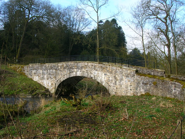
Walks near Gisburn

 The Lancashire village of Gisburn is located in a lovely spot in the Forest of Bowland AONB and the Ribble Valley.
Local highlights include the ancient ruins of Sawley Abbey and neighbouring Barnoldswick where you can enjoy easy waterside walks along the Leeds and Liverpool Canal. Also of interest is the Ribble Way, a long distance wayamarked footpath following the course of the River Ribble.
To the north is the expansive Gisburn Forest, a popular place for hiking and mountain biking.
This circular walk takes you around Gisburn Park and up to Gisburn Bridge on the River Ribble. On the way there's nice views of the Stock Beck and the impressive Gisburn Park Hospital.
Scroll down for a list of other walks near and around Gisburn and useful walking maps of the area.
Postcode
BB7 4HE - Please note: Postcode may be approximate for some rural locationsGisburn Ordnance Survey Map  - view and print off detailed OS map
Gisburn Open Street Map  - view and print off detailed map
Gisburn OS Map  - Mobile GPS OS Map with Location tracking
Gisburn Open Street Map  - Mobile GPS Map with Location tracking
Walks near Gisburn
- Sawley - This walk explores the area around the Lancashire village of Sawley, visiting the historic Sawley Abbey and a particularly scenic stretch of the River Ribble.
- Barnoldswick Canal Walk - Enjoy an easy waterside walk along the towpath of the Leeds and Liverpool Canal on this route in Lancashire and Yorkshire
- Leeds and Liverpool Canal - Enjoy waterside cycling and walking along Britain's longest single canal
- Pendle Hill - This walk climbs to the summit of Pendle Hill in Lancashire
- Pendle Hill Witches Walk - This double looped trail travels through the area associated with the Pendle Witch Trials of 1612
- Clitheroe - Explore the Lancashire town of Clitheroe on this lovely walk in the Ribble Valley
- Gisburn Forest - Enjoy miles of wonderful woodland walking and cycling trails in this large forest in the Forest of Bowland
- Black Moss Reservoir - Enjoy a waterside walk around these two reservoirs near the Lancashire village of Barley
- Tolkien Trail - This literary trail explores an area of the Ribble Valley thought to have inspired some of the landscapes from J.R.R Tolkien's 'Lord of the Rings' trilogy
- Skipton Canal - This is a popular walk taking you from Skipton to Gargrave along the Leeds and Liverpool Canal
- Gargrave - This circular walk explores the countryside and canals surrounding this popular village in the Yorkshire Dales
- Foulridge Reservoir - This easy, circular walk takes you around the pretty Foulridge Reservoir in Colne
- Weets Hill - This circular walk climbs to Weets Hill from Barnoldswick near the edge of the Forest of Bowland AONB
- East Marton - This circular walk from the Yorkshire village of East Marton takes you along the Leeds and Liverpool Canal to neighbouring Gargrave before returning to the village along a section of the Pennine Way.
- Sharp Haw - This walk climbs to Sharp Haw hill in the Yorkshire Dales National Park near Gargrave.
- Elslack Reservoir - This circular walk visits Elslack Reservoir in North Yorkshire near Skipton.
- Bolton by Bowland - This delightful Lancashire village is in a great location for exploring the scenery of the lovely Forest of Bowland and Ribble Valley
Pubs/Cafes
Head to The White Bull for some post walk refreshment. The 18th century coaching in does a fine Sunday roast and also provides rooms if you'd like to stay in the area.
You can find the inn on the Main Street at postcode BB7 4HE for your sat navs.
The pub has a lovely garden and is also dog friendly if you have your canine friend with you.


