Bonsall Walks
![]()
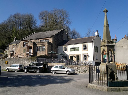
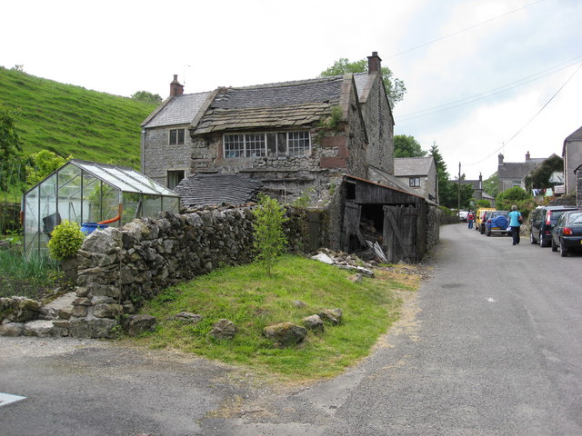
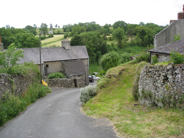
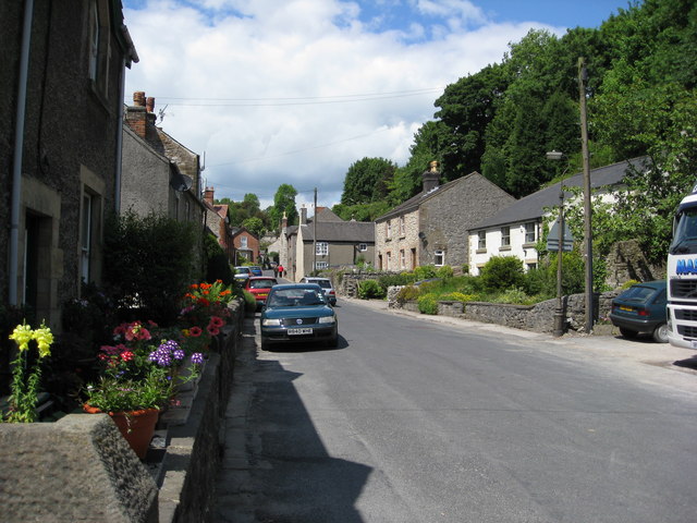
![]() This attractive Derbyshire Dales village is a fine place to begin a walk. The former leading mining village includes a number of quaint stone cottages, a noteworthy 13th century church and two fine local pubs. The settlement is located just to the south west of Matlock.
This attractive Derbyshire Dales village is a fine place to begin a walk. The former leading mining village includes a number of quaint stone cottages, a noteworthy 13th century church and two fine local pubs. The settlement is located just to the south west of Matlock.
The village is on the Limestone Way, a long distance walking trail, ideal for exploring the wonderful limestone scenery typical of the area.
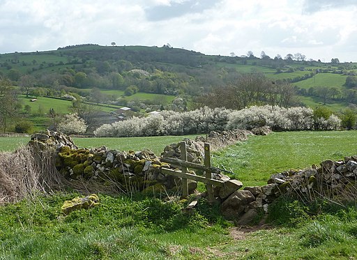
This short circular walk takes you around the village and through the scenic Bonsall Dale. There's some splendid views of the surrounding Peak District hills from the elevated dale.
See the list of walks below for more ideas and the Peak District Walks page for more walks in the national park.
Postcode
DE4 2AA - Please note: Postcode may be approximate for some rural locationsBonsall Ordnance Survey Map  - view and print off detailed OS map
Bonsall Open Street Map  - view and print off detailed map
Bonsall OS Map  - Mobile GPS OS Map with Location tracking
Bonsall Open Street Map  - Mobile GPS Map with Location tracking
Walks near Bonsall
- Winster - This attractive Peak District village is surrounded by some lovely limestone hills, woods and countryside.
- Derwent Valley Heritage Way - Follow the River Derwent through the Derbyshire Peak District on this stunning walk
- Darley Dale - Enjoy a walk through the pretty Darley Dales on this waterside route in the lovely Derbyshire Dales
- Matlock - The county town of Matlock is a great base for exploring the south eastern edge of the Peak District
- Limestone Way - Travel through the beautiful Peak District National Park on this walk through Derbyshire and into Staffordshire.
The walk starts at Castleton, passing through the scenic Cave Dale and past the remains of Peverill Castle - Nine Ladies Stone Circle Walk - This walk visits the fascinating Bronze Age stone circle of the Nine Ladies in the Derbyshire Peak District.
- Cromford Canal - Enjoy a waterside stroll along the Cromford Canal on this easy walk in Derbyshire
- Birchover - This Peak District village is a fine place to start a walk
- Robin Hood's Stride - This walk visits Robin Hood's Stride, a wonderful rock formation near Bakewell in Derbyshire.
- Heights of Abraham - Ride a cable car to the Hilltop Park and enjoy magnificent views of the Derwent Valley and surrounding Peak District at this major attraction in Matlock
- Black Rocks Cromford - This circular walk visits Black Rocks in the Peak District National Park
- Middleton Top - At Middleton Top you will find an excellent visitor centre with a number of good walking trails to try
Pubs/Cafes
The Kings Head is at 62 Yeoman, DE4 2AA. It's an attractive stone pub with Batemans real ales, home cooked food and a hidden beer garden. There's also The Barley Mow at postcode DE4 2AY.
Photos
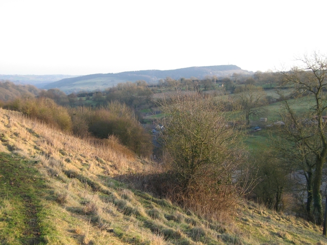
Bonsall Dale with Cromford Moor (and Black Rock) on the horizon
