Boston Spa Walk
![]()
![]() The village of Boston Spa is located in the north eastern corner of the city of Leeds.
The village of Boston Spa is located in the north eastern corner of the city of Leeds.
There's some nice trails along the River Wharfe and the interesting neighbouring village of Thorpe Arch and Newton Kyme to visit. The attractive village has some fine Georgian architecture and several good shops and pubs in the centre.
This walk explores the area to the east of the village, following the river to Newton Kyme and its castle ruins. It's easy walking with lovely views of the peaceful river, the rushing weir and the surrounding countryside.
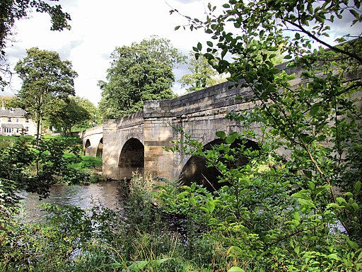
The walk starts on the Wharfe in Boston Spa and heads east along a section of the Ebor Way. You'll pass Ingle Bank Wood and Wharfe Bridge before coming to the site of an old Roman Fort. The path turns south here before picking up Croft Lane to take you into Newton Kyme. Here you can follow the path to the ruins fof Kyme Castle next to the river.
The route then retraces its steps back to Wharfe Bridge where you can cross to the other side to visit the village of Thorp Arch, which sits opposite to Boston Spa. From here you cross another bridge to return to Boston Spa.
Boston Spa Ordnance Survey Map  - view and print off detailed OS map
Boston Spa Open Street Map  - view and print off detailed map
Boston Spa OS Map  - Mobile GPS OS Map with Location tracking
Boston Spa Open Street Map  - Mobile GPS Map with Location tracking
Pubs/Cafes
The Stew and Oyster is a good choice for some post walk refreshments. They do lovely home cooked food and have a fine selection of beers on tap. It's located right next to the car park on the high street at postcode LS23 6BH for your sat navs.
Dog Walking
The riverside and country trails make for a nice dog walk and the Stew and Oyster mentioned above is also dog friendly.
Further Information and Other Local Ideas
Head north west along the river and you can visit Wetherby where you can try the Wetherby to Spofforth Castle Walk. Here you can visit the interesting ruins of the 14th century castle which is now run by English Heritage.
The worthy village of Bramham is located just a few miles to the south. Here you can visit the noteworthy Bramham Park where there are hundreds of acres of parkland, gardens, woodland and countryside to explore. The landscaped park surrounds the historic 18th century Bramham House which is a Grade I listed building. You could also pick up the Leeds Country Way here and follow it to nearby Thorner.
Cycle Routes and Walking Routes Nearby
Photos
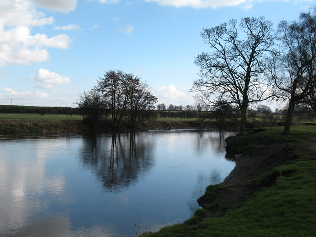
The Wharfe at Newton Kyme. In recent years, archaeological work on the riverbank has revealed the site of a medieval ford which was on a route between the [now disappeared] villages of Toulston and Easdike
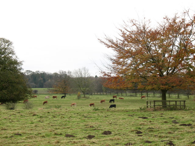
The Dower House, Newton Kyme. A fine house that looks out over Newton Hall Park. The architectural guide says 18th century, but the style looks earlier.


