Brampford Speke Walk
![]()
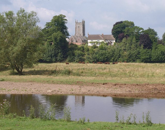
![]() This delightful Devon village is surrounded by some lovely rolling countryside making it a fine place to start a walk. There's riverside trails and peaceful country lanes with a noteworthy 18th century inn to relax in after your exercise.
This delightful Devon village is surrounded by some lovely rolling countryside making it a fine place to start a walk. There's riverside trails and peaceful country lanes with a noteworthy 18th century inn to relax in after your exercise.
This circular walk from the village uses part of the Exe Valley Way and series of quiet country lanes to explore the area to the north of the settlement.
The walk starts in the village where you can pick up the Exe Valley Way and follow the waymarked footpath north along the River Exe to Nether Exe, Latchmoor Green and the neighbouring village of Thorverton. Here you cross the river at Thorverton Mill and head west through the village. You could enjoy a pit stop here at the local pub at what is roughly the half way point on the walk.
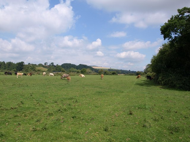
The route continues west before turning south along a lovely country lane with fine countryside views to enjoy. Follow the lanes south and then east and you will return to the village.
Postcode
EX5 5DP - Please note: Postcode may be approximate for some rural locationsBrampford Speke Ordnance Survey Map  - view and print off detailed OS map
Brampford Speke Open Street Map  - view and print off detailed map
Brampford Speke OS Map  - Mobile GPS OS Map with Location tracking
Brampford Speke Open Street Map  - Mobile GPS Map with Location tracking
Walks near Brampford Speke
- Exe Valley Way - The walk starts in Starcross on the banks of the River Exe Estuary and heads past the 14th century Powderham Castle and then along the Exeter Canal to Exeter
- Bickleigh Mill - This walk visits the 18th century Bickleigh Mill in Devon
- Tiverton Canal Walk - An easy walk along the Grand Western Canal from Tiverton to the nearby village of Sampford Peverell
- Exeter Canal - Follow the Exter Ship Canal from the centre of Exeter to the River Exe Estuary
- Exeter Circular Walk - A fine circular walk visiting the canal, river and parks of the city of Exeter
- Cullompton - This interesting Mid Devon town is located on the River Culm near Exeter and Tiverton.
- Tiverton to Bickleigh Walk - This walk takes you from Tiverton to Bickleigh using a section of the Exe Valley Way
- Ashclyst Forest - Enjoy miles of woodland cycling and walking trails in this large forest near Killerton
- Killerton Park - The Killerton Estate is 6,400 acres of parkland and countryside containing over 60 miles of footpaths and cycle tracks
- Broadclyst - This East Devon village boasts a number of historic properties, a pretty village green, an historic watermill, a 15th century church, a 16th century pub and some fine country footpaths.
- Exeter Green Circle - This 12 mile circular walk explores the city of Exeter visiting several attractive green spaces, including the parks, the river and the surrounding countryside.
Pubs/Cafes
Back in the village head to The Agricultural Inn for some post walk refreshment. The 18th century inn has a fine interior with exposed beams and cosy open fires. Outside there's a lovely secret garden area with pods. You can find them in a nice location opposite the village Church at postcode EX5 5DP for your sat navs.
Dog Walking
The country trails make for a fine walk with your dog. The Agricultural Inn mentioned above is also dog friendly.
Further Information and Other Local Ideas
If you continue north along the Exe Valley Way you will soon come to Bickleigh Mill. It's a delightful place with the picturesque mill located next to the river in the worthy village of Bickleigh. The area also includes several themed maize mazes which are well worth exploring.
For more walking ideas in the area see the Devon Walks page.
Photos
Thorverton Mill. Seen from Thorverton Bridge, a crossing of the river Exe. The old structure is on the right of the complex, ivy covered, and was built as a water-powered mill, with a leat from a weir upstream on the river. A fire in 1897 resulted in the rebuilding of the 1884 mill; it was then equipped with a six-sack roller plant ‘on system of Messrs Thomas Robinson and Son Ltd of Rochdale’. The Mill is listed Grade II.


