Tiverton Canal Walk

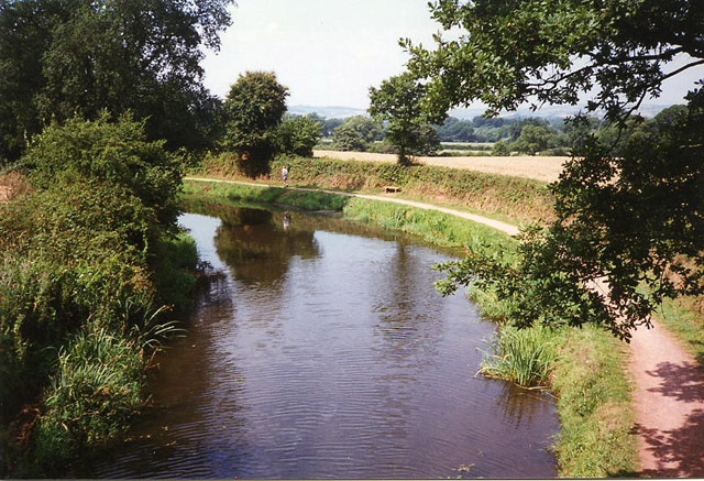
 An easy walk along the Grand Western Canal from Tiverton to the nearby village of Sampford Peverell. It's about a 6 mile walk along a lovely stretch of the canal, so perfect for a Sunday afternoon stroll.
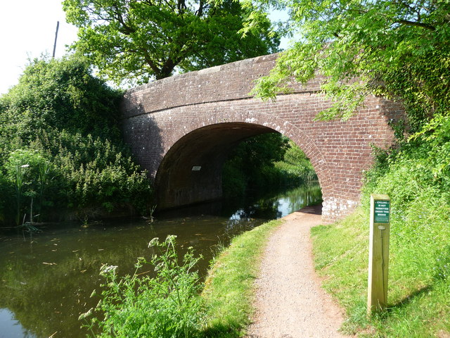
The walk starts from the Tiverton Canal Basin, just to the east of the town centre. You pick up the towpath and head east into the countryside, passing Tiverton Golf Club before coming to Halberton. The route continues past Battens Bridge to Sampford Peverill, where there is a lovely view of St John's church and the rectory from the canal.
You can extend the walk by continuing along the towpath to Greenham.
To continue your waterside walking in the Tiverton area you can pick up the Exe Valley Way which runs through the town. You could follow the riverside path south to Bickleigh.
To the north of the town is Knightshayes Park where there's a beautiful country estate surrounding a Gothic Revival Mansion.
Tiverton Canal Walk Ordnance Survey Map  - view and print off detailed OS map
Tiverton Canal Walk Open Street Map  - view and print off detailed map
Tiverton Canal Walk OS Map  - Mobile GPS OS Map with Location tracking
Tiverton Canal Walk Open Street Map  - Mobile GPS Map with Location tracking
Further Information and Other Local Ideas
Follow the Exe Valley way south from the town and you can visit the scenic Bickleigh Mill. It's a fine place for a stroll with a historic mill and shopping area right next to the river. There's also an excellent riverside pub here too. See the Tiverton to Bickleigh Walk for full details of how to reach the site on foot from the town. Near Bickleigh there's also the pretty village of Brampford Speke where there's a noteworthy 18th century inn to visit.
A few miles to the south east there's the town of Cullompton on the River Culm. The historic settlement includes a 15th century church, interesting old mills, a Grade I listed 17th century house, several Grade II listed buildings and a nice easy mill leat walking trail.
For more walking ideas in the county see the Devon Walks page.
Cycle Routes and Walking Routes Nearby
Photos
Grand Western Canal terminus. The original scheme, for which an act of Parliament was obtained in 1796, was for a canal linking Taunton to Topsham. The branch from Burlescombe to Tiverton was opened in 1820 and brought limestone to the town from Canonsleigh quarries. Later Tiverton was linked to Taunton but the section from Holcombe Rogus to Taunton was abandoned in 1865. A series of old limekilns built into the superstructure survive underneath the elevated canal terminus. No less than twenty were in use here and in nearby Limekiln Road in the 1830s


