Dolphinholme Walks
![]()
![]() This pretty Lancashire village sits on the edge of the Forest of Bowland AONB. The remote settlement is a pleasant place for a stroll with several historic buildings in the lower village and a splendid local pub for a drink afterwards.
This pretty Lancashire village sits on the edge of the Forest of Bowland AONB. The remote settlement is a pleasant place for a stroll with several historic buildings in the lower village and a splendid local pub for a drink afterwards.
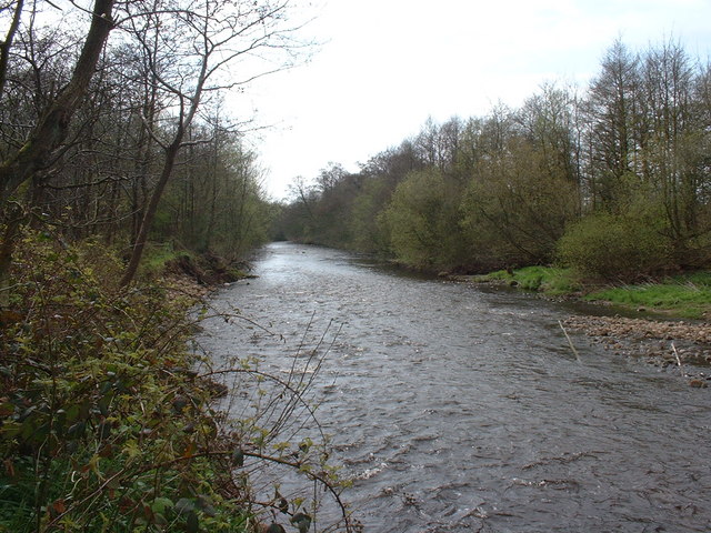
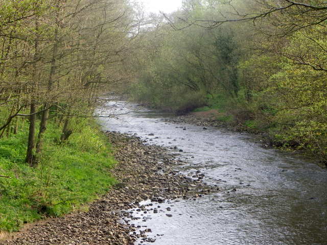
Dolphinholme is located on the Wyre Way, a long distance walking trail running through the valley of the River Wyre. This walk from the village takes you south along the waymarked footpath to the neighbouring village of Scorton. On the way you will enjoy riverside paths, old mills, countryside views and a series of picturesque lakes.
Postcode
LA2 9AQ - Please note: Postcode may be approximate for some rural locationsDolphinholme Ordnance Survey Map  - view and print off detailed OS map
Dolphinholme Open Street Map  - view and print off detailed map
Dolphinholme OS Map  - Mobile GPS OS Map with Location tracking
Dolphinholme Open Street Map  - Mobile GPS Map with Location tracking
Walks near Dolphinholme
- Wyre Way - Follow the course of the River Wyre from Fleetwood to Abbeystead Reservoir on this 45 mile waymarked walk in Lancashire.
- Scorton - A circular walk around the Lancashire village of Scorton
- Nicky Nook - This circular walk takes you up a popular and delightful fell in the Forest of Bowland
- Garstang Canal Walk - A circular walk around the Lancashire town of Garstang, taking in the Lancaster Canal, Greenhalgh Castle and the River Wyre
- Parlick and Fair Snape Fell - This walk from Parlick Fell to Fair Snape Fell is considered one of the loveliest in the Forest of Bowland
- Beacon Fell Country Park - Explore 271 acres of woodland, moorland and farmland in the Forest of Bowland AONB
- Calder Vale - This peaceful little village is located in a lovely spot on the edge of the Forest of Bowland AONB.
- Longridge Fell - Enjoy a walk to the summit of England's most southerley fell on this wonderful circular walk in the Forest of Bowland
- Brock Bottom - This walk visits Brock Bottom near Garstang in the Forest of Bowland AONB
Pubs/Cafes
The Fleece Inn is a fine place for some post walk refreshment. The inn serves good food and has a nice large garden area to relax in. Inside the walls have a variety of historic prints and photos of old Dolphinholme. They also have a car park and provide rooms if you'd like to stay over. You can find them in the village at postcode LA2 9AQ for your sat navs.
Photos
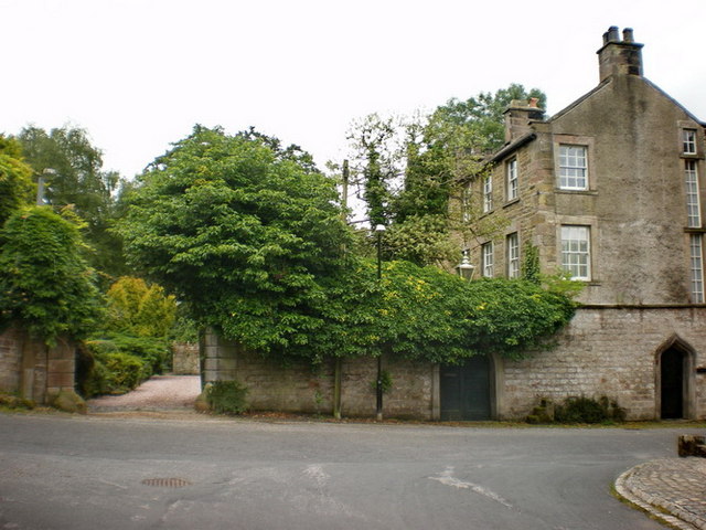
Lower Dolphinholme. Most of the historic lower village is still intact, the remains of the mill are in what is now a private garden but the chimney is still standing, in a nearby field.
Waterwheel. In the 18th and 19th centuries the village played an important part in the Industrial Revolution. Thomas Hinde founded a mill in Lower Dolphinholme in 1795. This worsted mill prospered and in 1811 the lower village was amongst the first in the United Kingdom to have gas lighting.


