Carr Mill Dam
![]()
![]() Enjoy a circular walk around Carr Mill Dam on this easy walk in St Helens.
Enjoy a circular walk around Carr Mill Dam on this easy walk in St Helens.
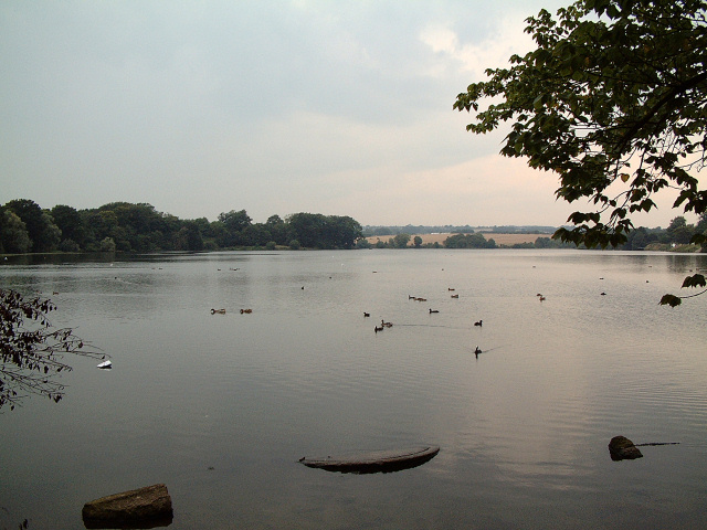
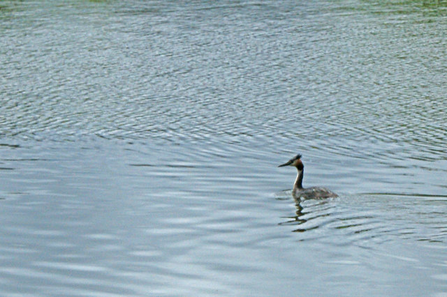
The pretty lake is located on the north eastern fringes of the town and notable as Merseyside's largest body of inland water. It's a nice place for a waterside stroll with footpaths running along both sides of the water. The lake also attracts a large variety of water loving birds including Great Crested Grebe and Herons.
You can park at the southern end of the lake on Garrswood Road where there is free parking. Here you'll also find a number of information boards telling you all about the flora and fauna at the lake. You can pick up the footpaths heading around the lake which includes some woodland sections and a bridge crossing at the northern end. It's about a 2 mile walk around the lake so it will probably take an hour or so at a leisurley pace.
Postcode
WA11 7NA - Please note: Postcode may be approximate for some rural locationsCarr Mill Dam Ordnance Survey Map  - view and print off detailed OS map
Carr Mill Dam Open Street Map  - view and print off detailed map
Carr Mill Dam OS Map  - Mobile GPS OS Map with Location tracking
Carr Mill Dam Open Street Map  - Mobile GPS Map with Location tracking
Pubs/Cafes
There's a Toby Carvery conveniently located at the start point of the walk, at the lake's southern end. There's good food and a nice view of the lake from here.
Dog Walking
The lake is a fine place for a dog walk. There's also an open area where you can let them off leads. The Toby Carvery mentioned above is also dog friendly.
Further Information and Other Local Ideas
To continue your walking in the area try our St Helens Walk which takes you along the old St Helens Canal through a section of the lovely Sankey Valley Park.
For great views over the town head north and enjoy a climb to Billinge Hill. The hill summit stands at a height of 179 m (587 ft) commanding fine views towards Great Orme in Wales, Blackpool tower, Greater Manchester, Winter Hill and the Derbyshire Peak District. You can reach the hill on the Rainford Walk which starts from the nearby village. This walk also visits the pretty lakes in the Orrell Water Park.
On the southern edge of the town there's Sutton Manor Park to explore. The popular park includes the iconic Dream Sculpture which is a local highlight and well worth seeing. There's also a great viewpoint and the adjacent Clock Face Country Park to visit here.
For more walking ideas in the area see the Merseyside Walks page.
Cycle Routes and Walking Routes Nearby
Photos
Carr Mill Dam view with picnic bench and bridge in distance. Originally just a mill pond built to supply Carr's Mill the dam is fed by two stream, the Goyt to the north east and Black Brook to the north west. The Dam was created in the 1750s to supply the newly built Sankey Canal system. This view is looking north west from the Lancashire Power Boat Club House on the east side of the Dam on the southern edge of this square.


