Cheddar Reservoir Walk
![]()
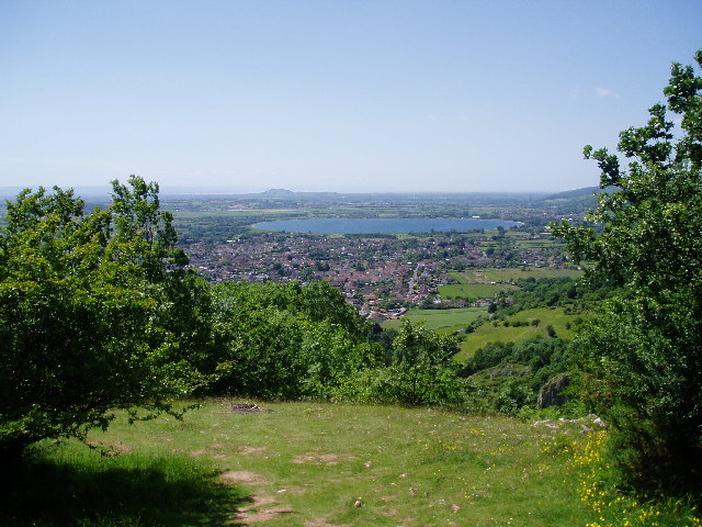
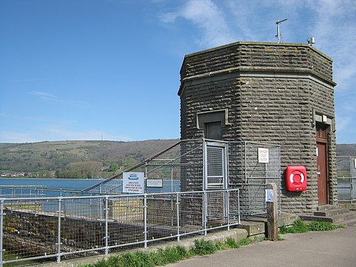
![]() Follow the waterside path around this reservoir on this easy circular walk in Somerset. There is a good footpath running around the perimeter with parking available at the south eastern end. It's a lovely spot with sailboats on the water and beautiful countryside and woodland surrounding the water. It's about two miles around the reservoir so it makes for a nice afternoon stroll.
Follow the waterside path around this reservoir on this easy circular walk in Somerset. There is a good footpath running around the perimeter with parking available at the south eastern end. It's a lovely spot with sailboats on the water and beautiful countryside and woodland surrounding the water. It's about two miles around the reservoir so it makes for a nice afternoon stroll.
It's easy to extend your walking in the area with the spectacular Cheddar Gorge and the delightful Strawberry Line route nearby.
Just to the west of the reservoir you can climb across Wavering Down on the West Mendip Way and visit the beautiful Crook Peak. From here you can enjoy wonderful views towards the coast and into Wales.
Postcode
BS27 3DR - Please note: Postcode may be approximate for some rural locationsCheddar Reservoir Ordnance Survey Map  - view and print off detailed OS map
Cheddar Reservoir Open Street Map  - view and print off detailed map
Cheddar Reservoir OS Map  - Mobile GPS OS Map with Location tracking
Cheddar Reservoir Open Street Map  - Mobile GPS Map with Location tracking
Pubs/Cafes
After your exercise head to the White Hart in Cheddar for some well earned refreshments (Postcode:BS27 3QN). Here you can enjoy a ploughman's lunch and a decent pint of Cheddar Ale in the nice beer garden.
There's also the popular Lion Rock Tea Rooms. Nestled in the heart of Cheddar Gorge in one of the oldest, most photographed and documented buildings beneath the World Famous Lion Rock. You can find it on the Cliffs Road at postcode BS27 3QE.
The Butcombe Trail also runs through the village. The waymarked circular walk visits several of the prettiest villages and the finest pubs in the Mendips.
Further Information and Other Local Ideas
The circular Priddy Walk starts from the interesting village, just to the south east of the reservoir. It visits the wonderful Ebbor Gorge and a series of other local highlights including the ancient Priddy Nine Barrows, the Priddy Mineries Nature Reserve and Wookey Hole. There's also a fine 19th century village inn for some post walk refreshment.
Just to the south is the village of Wedmore where you could vist the old coaching inn which dates back to the 1700s. Our walk from here visits the reservoir and the gorge by following the River Axe from the village. The Westhay Moor Nature Reserve is also located near here. The reserve is part of wider Avalon Marshes and includes a series of footpaths running around a number of pretty lakes. The area is great for bird watching with a variety of wetland birds visiting site.
The Axbridge Walk visits the reservoir, Crook Peak and Cheddar Yeo River from the nearby town. The historic settlement is well worth a visit with its medieval town square, half timbered buildings, early 1600s pub and the Tudor King John's Hunting Lodge which houses a fine local museum.
For more walking ideas in the area see the Mendip Hills Walks, Somerset Walks page.


