Clophill and Haynes Circular Walk

 A circular walk visiting the settlements of Clophill and Haynes in Bedfordshire. The route runs for about 7 miles with a few small climbs, some woodland stretches and a visit to an ancient church on the way.
The walk starts in Clophill where you can pick up the Greensand Ridge Walk and follow the waymarked trail north east to Pedley Wood and Chicksands Wood. There's some peaceful woodland trails here which will take you up to Appley Corner before reaching the village of Haynes.
From Haynes you the follow public footpaths south west to Sandpit Farm before passing Northfield College and returining to Clophill. You can extend the walk by heading north west from the village to visit the nearby Maulden Woods.
Postcode
MK45 4AD - Please note: Postcode may be approximate for some rural locationsClophill and Haynes Circular Walk Ordnance Survey Map  - view and print off detailed OS map
Clophill and Haynes Circular Walk Open Street Map  - view and print off detailed map
Clophill and Haynes Circular Walk OS Map  - Mobile GPS OS Map with Location tracking
Clophill and Haynes Circular Walk Open Street Map  - Mobile GPS Map with Location tracking
Pubs/Cafes
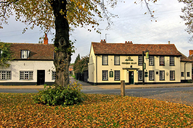
Back in Clophill The Flying Horse is a good choice for some post walk refreshment. The premium pub includes a lovely courtyard and garden where you can enjoy a meal on a warm day. You can find them on the Green at postcode MK45 4AD for your sat navs.
Dog Walking
The woodland and country trails make for a fine dog walk. The Flying Horse mentioned above is also dog friendly.
Further Information and Other Local Ideas
On the route be sure to explore the atmospheric ruins of St Mary's Church in Clophill. The ruined church at the village edge is a Grade II* listed building and dates from around 1350.
Also in the Clophill area you will find the interesting Cainhoe Castle. The hill is the site of the a former 11th-century Norman castle but today only the turf-covered mound remains, with earthwork banks outlining the bailey enclosure. It's a nice climb to the top though and there are good views of the surrounding countryside from the elevated position of the site. There is a public footpath from the High Street in Clophill, opposite Town Shott, heading east out to the castle. The field has permissive access, so visitors can explore freely.
Just east of Chicksands there are some good walking and cycling trails in Rowney Warren Wood near the town of Shefford.
Head a few miles to the west and you can enjoy some good trails around Ampthill Park. You can also climb the Greensand Ridge here and enjoy fine views over the area. Just to the south of Ampthill there's the neighbouring town of Flitwick where you'll find the Flitwick Moor Nature reserve. The Site of Special Scientific Interest is the largest area of wetland in Bedfordshire. The village is also worth exploring with a medieval church and the Georgian Flitwick Manor, which is Grade II listed.
Just to the south there's Silsoe where you can enjoy easy trails around Wrest Park. There's 92 acres of landscaped early eighteenth-century gardens to explore here. You can also enjoy a pleasant stroll around Silsoe village where there are a number of historic properties associated with the park estate.
For more walking ideas in the area see the Bedfordshire Walks page.


