Codsall Walks
![]()
![]() This large Staffordshire based village is well positioned for picking up a number of waymarked footpaths which run through the surrounding countryside. Nearby there's also a historic old hall with attractive parkland and gardens to explore.
This large Staffordshire based village is well positioned for picking up a number of waymarked footpaths which run through the surrounding countryside. Nearby there's also a historic old hall with attractive parkland and gardens to explore.
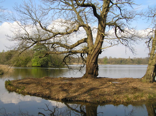
This route from the town makes use of sections of the Monarch's Way and the Staffordshire Way to create a circular walk through the surrounding countryside and woodland. On the way you'll visit some of the highlights of the area including Wrottesley Hall and Chillington Hall.
The walk starts from the train station on the western side of the town. From here you can pick up the Staffordshire Way and the Monarch's Way and follow the waymarked footpaths south west to visit Wrottesley Hall and Park.
The route then retraces its steps to Oaken before heading west and then north to Codsall Wood. You then skirt the western edge of Chillington Park on another section of the Monarch's Way. The route then heads east along Brick Kiln lane which will take you to the entrance of Chillington Hall. The Georgian country house has some fine walks around the Capability Brown landscaped park and lake. It is only open on a select number of days each year but there are public footpaths around the estate.
From the hall you head south past Gunstone to return to Codsall and the train station.
Codsall Ordnance Survey Map  - view and print off detailed OS map
Codsall Open Street Map  - view and print off detailed map
Codsall OS Map  - Mobile GPS OS Map with Location tracking
Codsall Open Street Map  - Mobile GPS Map with Location tracking
Walks near Codsall
- Brewood Canal Walk - This circular walk from Brewood takes you along a section of the Shropshire Union Canal towards Wheaton Aston before heading through the countryside to visit the pretty Belvide Reservoir and the historic Chillington Hall.
- Wombourne Railway Walk - A circular walk from Wombourne taking you along a dismantled railway line before returning along the Staffordshire and Worcestershire Canal
- Belvide Reservoir - Enjoy a circular walk around Belvide Reservoir in South Staffordshire on this easy route
- Wolverhampton Canal Walk - Explore the Birmingham Canal on this short walk through the centre of Wolverhampton.
- Baggeridge Country Park - Enjoy 150 acres of woodland and countryside in this country park near Wolverhampton
- Monarch's Way - This incredible 615-mile walk approximates the escape route taken by King Charles II in 1651 after being defeated in the Battle of Worcester
- Staffordshire Way - Travel through Staffordshire, Cheshire, Derbyshire, Worcestershire and enjoy canals, lakes, country parks and a series of pretty towns and villages
- Chillington Hall - This Georgian country house includes some lovely Capability Brown landscaped parkland and gardens to explore.
- Weston Park - This walk explores the wonderful Capabality Brown landscaped grounds of Weston Park in Weston-under-Lizard, Staffordshire.
- Himley Hall - This walk explores Himley Hall Park, near the village of Himley in Staffordshire.
- Perton - This Staffordshire based village lies just to the south of Codsall and west of Wolverhampton.
Pubs/Cafes
The Codsall Station Pub is located right next to the train station at the start/end of the walk. The Grade II listed pub has been converted from the old station buildings and includes interesting railway memorabilia on the walls. There's an outdoor seating area where you can see the working platforms. You can find them on Chapel Lane with postcode WV8 2EH for your sat navs.
Dog Walking
The country and woodland trails on the route are ideal for a dog walk. Please keep them on leads within the grounds of Chillington Hall. The Station pub mentioned above is also dog friendly.
Further Information and Other Local Ideas
Nearby you can pick up the Brewood Canal Walk which visits the Shropshire Union Canal, Wheaton Aston, Belvide Reservoir and Chillington Hall.
On the eastern side of the village you can visit the canal and the Pendeford Mill Nature Reserve where there are good bird spotting opportunities. You can find the pretty reserve at postcode WV9 5ET.
In neighbouring Perton there's a nice cyling and walking trail along the River Penk which runs between two pretty lakes.
For more walking ideas in the area see the Staffordshire Walks page.
Photos
Codsall Church. Photo taken from the fields along Whitehouse Lane,looking east. The Church stands above the village, which is S.E.Farmland predominates the North & West
Oak Trees near Wrottesley Hall, Staffordshire. The fields (including the rape field) and oak trees are in the square, even if Wrottesley Hall (distance) is not!


