Perton Walks
![]()
![]() This Staffordshire based village lies just to the south of Codsall and west of Wolverhampton.
This Staffordshire based village lies just to the south of Codsall and west of Wolverhampton.
This circular walk explores the village before heading into the countryside to the west of the settlement.
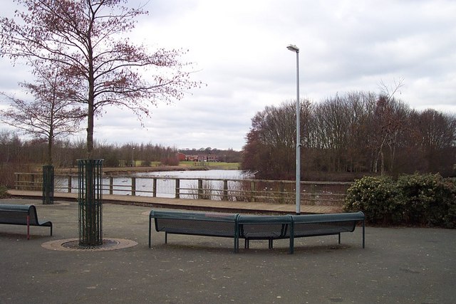
The walk starts off at the lake in the centre of the village where you can pick up a shared cycling and walking trail running along the River Penk from the upper lake to the lower lake. It's a nice area for a stroll with lots of birds to look out for. Keep your eyes peeled for tufted duck, mute swan, Canada goose, coot, moorhen, grey wagtail, grey heron and kingfisher as you make your way along the path.
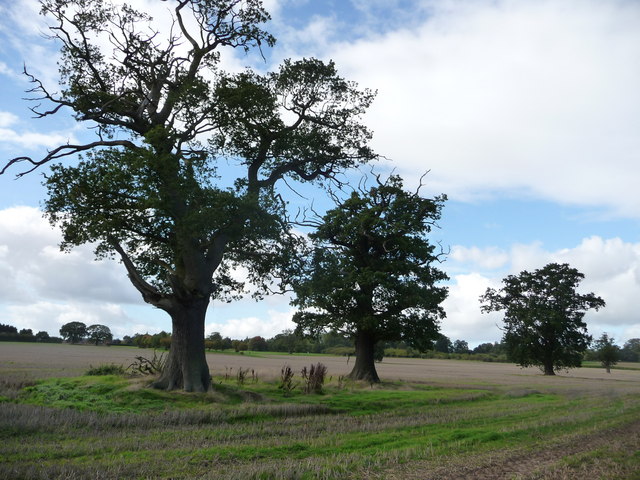
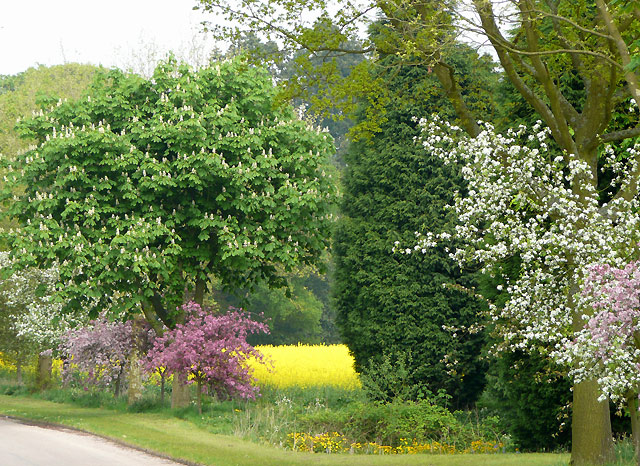
The walk then heads into the countryside where you can pick up a section of the Staffordshire Way long distance footpath. The trails will take you around Wrottesley Park where there are views of the Grade II listed Wrottesley Hall. It's a lovely area for a walk with attractive trees and blossoms during the spring months.
To continue your walking in the area head south to visit the National Trust's Wightwick Manor. The Victorian Manor house includes lovely gardens with orchards, pools, formal gardens, a Victorian kitchen garden and a mathematical bridge. You can also enjoy waterside walks along the Staffordshire and Worcestershire Canal and visit the wildlife rich Smestow Valley Local Nature Reserve in this area.
Perton Ordnance Survey Map  - view and print off detailed OS map
Perton Open Street Map  - view and print off detailed map
Perton OS Map  - Mobile GPS OS Map with Location tracking
Perton Open Street Map  - Mobile GPS Map with Location tracking
Walks near Perton
- Codsall - This large Staffordshire based village is well positioned for picking up a number of waymarked footpaths which run through the surrounding countryside
- Brewood Canal Walk - This circular walk from Brewood takes you along a section of the Shropshire Union Canal towards Wheaton Aston before heading through the countryside to visit the pretty Belvide Reservoir and the historic Chillington Hall.
- Wombourne Railway Walk - A circular walk from Wombourne taking you along a dismantled railway line before returning along the Staffordshire and Worcestershire Canal
- Belvide Reservoir - Enjoy a circular walk around Belvide Reservoir in South Staffordshire on this easy route
- Wolverhampton Canal Walk - Explore the Birmingham Canal on this short walk through the centre of Wolverhampton.
- Baggeridge Country Park - Enjoy 150 acres of woodland and countryside in this country park near Wolverhampton
- Monarch's Way - This incredible 615-mile walk approximates the escape route taken by King Charles II in 1651 after being defeated in the Battle of Worcester
- Staffordshire Way - Travel through Staffordshire, Cheshire, Derbyshire, Worcestershire and enjoy canals, lakes, country parks and a series of pretty towns and villages
- Chillington Hall - This Georgian country house includes some lovely Capability Brown landscaped parkland and gardens to explore.
- Weston Park - This walk explores the wonderful Capabality Brown landscaped grounds of Weston Park in Weston-under-Lizard, Staffordshire.
- Himley Hall - This walk explores Himley Hall Park, near the village of Himley in Staffordshire.
- Wightwick Manor - This walk visits the Victorian manor house of Wightwick Manor in Wolverhampton
Pubs/Cafes
The Fieldhouse Inn is an historic pub dating back to the 1770s. They serve good quality home cooked food which you can enjoy in a large garden area. You can find them at postcode WV6 8DP for your sat navs.
Photos
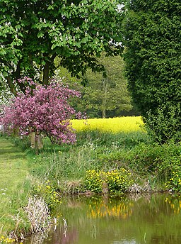
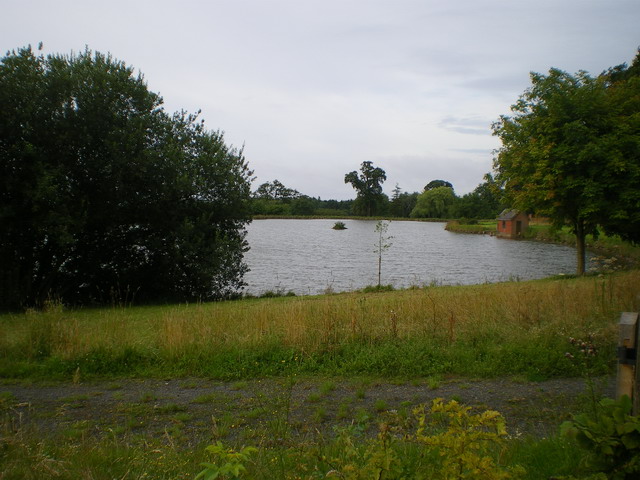
Pond and trees near Wrottesley Hall, Staffordshire. The farm roads, bridleways and field boundaries near The Bradshaws and Wrottesley Hall have been planted with attractive trees. In mid May, the varied greens of the young foliage, together with pink and white tree blossoms and the brilliant yellow of the flowering crops make a highly attractive scene. Marsh Marigolds also grow abundantly around this pond.
