Cringleford Walks

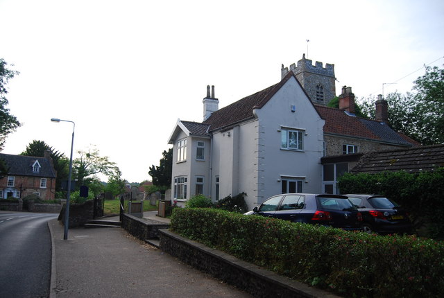
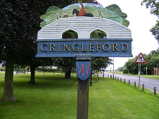
 This Norfolk based village is located on the outskirts of Norwich just south of the University of East Anglia on the River Yare. It's a good place to start a walk with three long distance waymarked paths passing through the area.
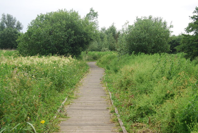
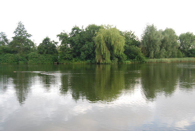
This walk from the village follows part of the Yare Valley Walk to the man made broad at the nearby University of East Anglia. There's a boardwalk running through the site which will take you along the river to Cringleford Wood and the lake. You can start off just to the east of Cringleford Bridge where there's a car park and a public footpath just off Eaton Street. It's a lovely place for a nature walk with lots of wildlife to look out for along the water.
If you were to head south along the Yare Valley Walk it would take you to the Marston Marshes where you will find a waymarked circular nature trail with lots of wildlife to see.
To continue your walking in the area you could follow Ketts Country Walk and the Tas Valley Way south to visit the neighbouring village of Swardeston which lies just to the south. Here you can link up with the Hethersett and Swardeston Country Walk which will take you west to nearby Hethersett.
Please click here for more information
Cringleford Ordnance Survey Map  - view and print off detailed OS map
Cringleford Open Street Map  - view and print off detailed map
Cringleford OS Map  - Mobile GPS OS Map with Location tracking
Cringleford Open Street Map  - Mobile GPS Map with Location tracking
Walks near Cringleford
- Yare Valley - Follow the River Yare from Bowthorpe to Marston Marsh on this deilghtful riverside walk near Norwich
- Marston Marshes - This pretty nature reserve is located on the River Yare near Cringleford and Norwich.
- Ketts Country Walk - Follow Kett's Country Walk from Cringleford to Wymondham on this splendid walk through Norfolk
- Tas Valley Way - This 25 mile river walk runs from Cringleford, near Norwich, to Attleborough, visiting a series of pretty villages with historic churches along the way.
- Norwich Riverside Walk - This circular walk around the city centre of Norwich follows the lovely riverside path along the River Wensum
- Hethersett and Swardeston Country Walk - This village near Norwich has some nice surrounding countryside to explore on a number of footpaths
- Wymondham Tiffey Valley Walk - This walk follows footpaths along the River Tiffey in the Norfolk town of Wymondham.
- Attleborough - This Norfolk based town has some nice trails to follow through the surrounding valley of the River Tas
- Whitlingham Country Park - Enjoy a peaceful cycle or walk around the lovely Whitlingham Country Park on the outskirts of Norwich
- Caistor St Edmund - This historical circular walk explores the Roman town of Caistor St Edmund in Norfolk
- Wherryman's Way - This walk follows the River Yare between Norwich and Great Yarmouth through the Norfolk Broads.
- Shotesham - This south Norfolk village is located just a few miles to the south of the city of Norwich in the River Tas Valley.
- Old Buckenham - This Norfolk based village sits just to the south of Attleborough on the popular Tas Valley Way walk
- Mulbarton - This Norfolk based village is located just south of Norwich
- Ketteringham Hall - Ketteringham Hall is located in the Norfolk village of Ketteringham, a few miles south west of Norwich.
Pubs/Cafes
The Red Lion is located near Eaton Street at the start of the walk. It's a historic pub of some note, dating all the way back to the 17th century. There's a charming interior with Dutch gables, beams, panelled walls and inglenook fireplaces. Parking is available and there's also a large garden to relax in on warmer days. You can find them at postcode NR4 7LD for your sat navs.


