Croxden Abbey

 This walk visits the ruins of a 12th century abbey near Hollington in Staffordshire.
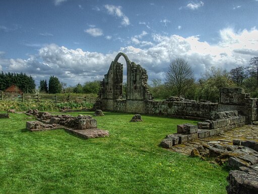
There are substantial remains at the site with towering fragments of its 13th century church, infirmary and 14th century abbot's lodging.
The walk starts from the abbey where there is some parking in a layby. You can then enjoy a walk along Croxden Lane which runs between the abbey ruins. It's a very picturesque area with the abbey surrounded by some lovely green fields. There are a number of information boards dotted around which will tell you all about the interesting history of the area. You can also see several of the original fruit trees from the abbey and the lake they would have held carp in.
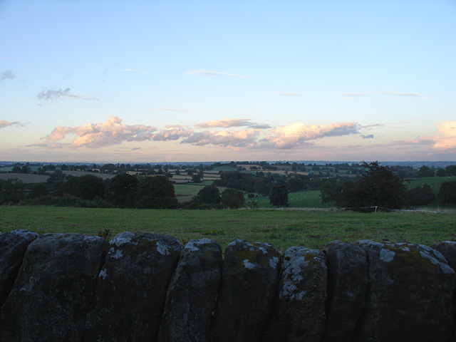
After exploring the site the circular walk then heads to Quarry Bank and the village of Hollington before returning to the abbey. On the country trails there are nice views over the surrounding countryside back to the abbey.
Postcode
ST14 5JG - Please note: Postcode may be approximate for some rural locationsPlease click here for more information
Croxden Abbey Ordnance Survey Map  - view and print off detailed OS map
Croxden Abbey Open Street Map  - view and print off detailed map
Croxden Abbey OS Map  - Mobile GPS OS Map with Location tracking
Croxden Abbey Open Street Map  - Mobile GPS Map with Location tracking
Pubs/Cafes
The Star Inn is located in the nearby village of Hollington. The 18th century pub is in a nice position overlooking the Tean Valley in the little village. There's good food and a patio area to sit out in on warmer days. They are also dog friendly if you have your pet with you. You can find them at postcode ST10 4HH for your sat navs.
Further Information and Other Local Ideas
The abbey is located near the Churnet Valley where you can visit the Denstone Railway Walk and the lovely woods at Dimmingsdale.
For more walking ideas in the area see the Staffordshire Walks page.


