Croxley Green Boundary Walk
![]()
![]() This waymarked circular walk in Rickmansworth explores the area around the village of Croxley Green.
This waymarked circular walk in Rickmansworth explores the area around the village of Croxley Green.
The walk starts on the village green and heads north east towards Whippendell Woods. You could take a small detour from the route to explore the woods. Here you'll find lots of wildlife and a noteworthy avenue of lime trees dating back to 1672.
The trail then passes Dell Wood before turning south east to follow a country lane down to the canal. On the opposite side of the water there's the popular Cassiobury Park to explore in Watford. This route heads south along the canal to Long Valley Wood where you cross the River Gade to enter Common Moor. Here you pick up a section of the Ebury Way and follow it west to Croxleyhall Farm. Continue north west and you will pass along the River Chess on the eastern side of Rickmansworth. The final section heads through Copthorne Wood before returning you to the village.
Croxley Green Boundary Walk Ordnance Survey Map  - view and print off detailed OS map
Croxley Green Boundary Walk Open Street Map  - view and print off detailed map
Croxley Green Boundary Walk OS Map  - Mobile GPS OS Map with Location tracking
Croxley Green Boundary Walk Open Street Map  - Mobile GPS Map with Location tracking
Pubs/Cafes
Head to the Coach and Horses for some post walk refreshment. It has some history, dating back to 1744 when it was a coaching inn. The old pub is nicely positioned on the Green at the start/end of the walk. You can find them at postcode WD3 3HX for your sat navs.
Dog Walking
The country, woodland and waterside trails make for a fine walk with your dog. The Coach and Horses mentioned above is also very dog friendly with water bowls and biscuits provided.
Further Information and Other Local Ideas
Just to the north west you can pick up the circular Sarratt Walk which visits the historic Chenies Manor House and the Chess Valley.
For more walking ideas in the area see the Hertfordshire Walks page.
Cycle Routes and Walking Routes Nearby
Photos
Croxley Green. The Green viewed looking northwards. The Coach and Horses Public House, which is a Grade II listed building, is on the left. Note the fine old style lamp posts! The name Croxley is reputably derived from Croc's Lea in Saxon times, and the Green has been owned at various times by the Church, the Crown, and Gonville and Caius College, Cambridge. In 1945 it was sold by the College to Rickmansworth Urban District Council, and is now owned and maintained by their successors, Three Rivers District Council.
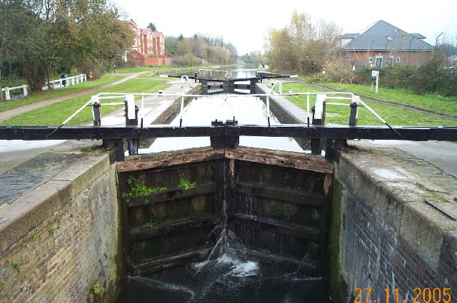
Grand Union Canal: near Croxley Common Lock. New canalside residential development replacing the old Croxley paper mill, viewed looking north eastwards from Croxley Common Lock.
River Gade through Croxley Common Moor. Viewed looking downstream with the moor to the left, the Grand Union Canal and the river run parallel to one another here and the canal is just beyond the hedge to the right.
Ebury Way, Croxley. Ebury Way viewed looking west under the Metropolitan Line bridge towards Rickmansworth, with a southbound underground train about to cross. Ebury Way follows the trackbed of the long dismantled railway line from Watford to Rickmansworth. Opened in 1862, it was shortly afterwards taken over by the London & North Western Railway, but was an early victim of the post-war Nationalization of the railways, closing to passenger traffic in 1952. It is now a popular route for cyclists.
The former Croxley Green railway station with track and a couple of lamp posts still intact. This was the end of the branch line from Watford Junction and was abandoned around 1996. The track has been completely cut, where it crossed Ascot Road about 300 metres east of here, for some time. There have been plans for many years to connect this line to the Metropolitan Line railway near Croxley station (a different station!) to provide direct rail access into the centre of Watford from the west, but nothing has so far materialized.


