East Meon Walk
![]()
![]() This village in East Hampshire has some nice walks across the South Downs to try. This walk from the village centre uses the South Downs Way National Trail to visit two of the highlights of the area. You start by following a country lane south west to Coombe Cross, about half a mile from the village. Here you can pick up the South Downs Way and follow it south to Salt Hill and Wether Down, one of the highest hills in Hampshire, rising to 234 metres (768 ft) above sea level.
This village in East Hampshire has some nice walks across the South Downs to try. This walk from the village centre uses the South Downs Way National Trail to visit two of the highlights of the area. You start by following a country lane south west to Coombe Cross, about half a mile from the village. Here you can pick up the South Downs Way and follow it south to Salt Hill and Wether Down, one of the highest hills in Hampshire, rising to 234 metres (768 ft) above sea level.
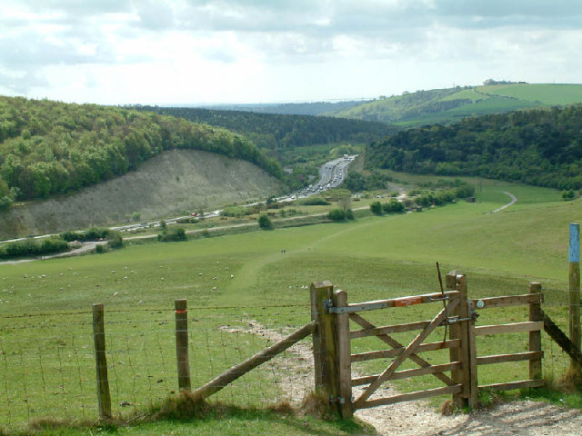
At Mercury Park you head east to Tegdown Hill before climbing to Butser Hill, the highest point on the South Downs. The hill stands at a height of 271 metres (889 ft) and provides wonderful views across the downs to the coast.
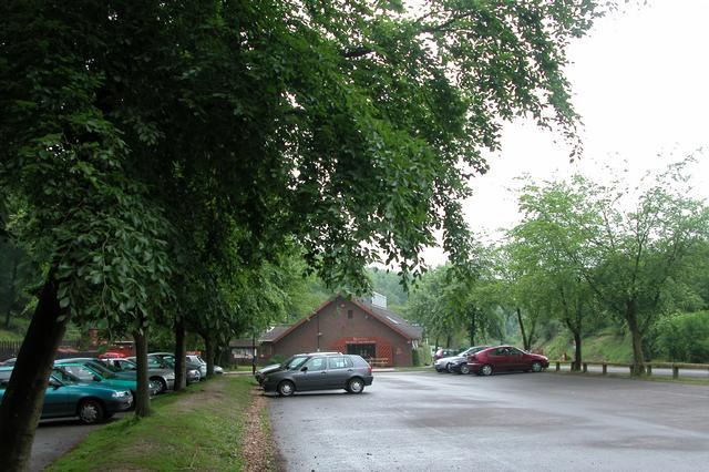
After taking in the views you descend to Queen Elizabeth Country Park, via Hilhampton Bottom. The park is Hampshire's biggest country park with 20 miles of trails for walkers, cyclists & horse riders. It includes 1400 acres of open access woodland and downland with lots of flora and fauna to look out for.
East Meon Ordnance Survey Map  - view and print off detailed OS map
East Meon Open Street Map  - view and print off detailed map
East Meon OS Map  - Mobile GPS OS Map with Location tracking
East Meon Open Street Map  - Mobile GPS Map with Location tracking
Pubs/Cafes
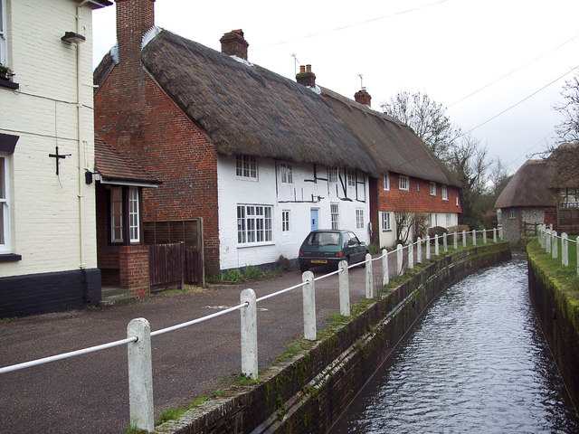
Ye Olde George Inn is a historic pub of some note. It's set in a delightful 15th century coaching inn located in a splendid spot next to the River Meon. There's an atmospheric olde worlde interior with open fires and wooden floors. Outside there's a nice patio area for warmer days. You can find them in the village on Church Street with a postcode of GU32 1NH for your sat navs. Near the pub you could stroll to the 15th century Courthouse and the Norman church which includes a rare 12th century marble font.
Dog Walking
The country and woodland trails are ideal for dog walking and the George Inn pub mentioned above is also dog friendly.
Further Information and Other Local Ideas
If you'd like to turn it into a circular walk you can descend Butser Hill and then follow Limekiln Lane north west towards Leythe House Farm. Other country lanes can then be followed towards Frogmore on the eastern outskirts of East Meon.
The Shipwrights Way, Staunton Way and Hangers Way long distance trails pass through the park so there is scope for extending your walk. For example you could follow the Hangars Way north to visit the market town of Petersfield.
To continue your walking in the East Meon area head west along the South Downs Way to visit Old Winchester Hill, Beacon Hill and West Meon. Around here you can also pick up the Meon Valley Trail and follow it to Meonstoke and Wickham.
Just to the south of QE Country Park you can pick up the Clanfield Walk and visit Butser Ancient Farm and Windmill Hill. The farm is one of the area highlights and includes an archaeological open-air museum with reconstructions of Neolithic dwellings, Iron Age roundhouses, a Romano-British villa and an early Saxon house.
For more walking ideas in the area see the South Downs Walks page.
Cycle Routes and Walking Routes Nearby
Photos
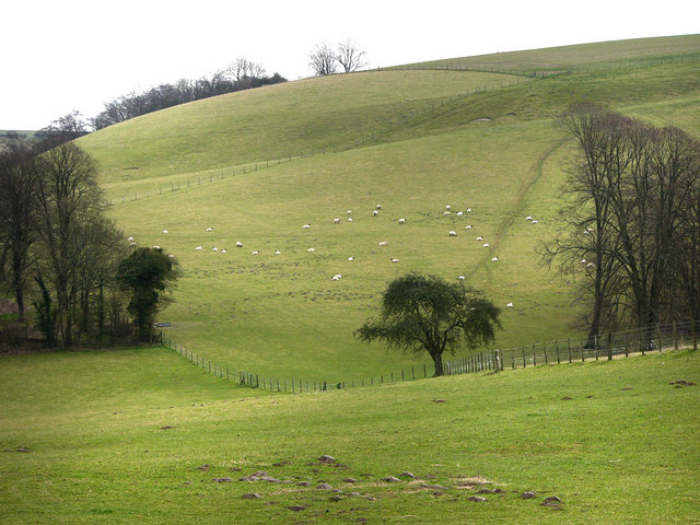
Wether Down. Looking across Ridgeway Down towards Betterton Down. The hedgerow below the horizon is a just beyond the western boundary of the grid-square.


