Ebbesbourne Wake Walks
![]()
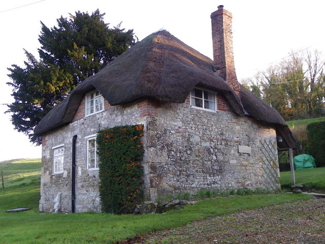
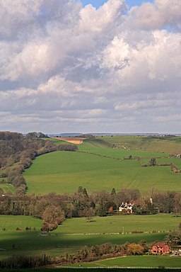
![]() This pretty little Wiltshire village is a fine place to start a walk. There's some beautiful views of the Chalke Valley which runs between the historical city of Salisbury and the charming town of Shaftesbury. The village also includes a noteworthy 14th century church and a lovely old pub for refreshments afterwards.
This pretty little Wiltshire village is a fine place to start a walk. There's some beautiful views of the Chalke Valley which runs between the historical city of Salisbury and the charming town of Shaftesbury. The village also includes a noteworthy 14th century church and a lovely old pub for refreshments afterwards.
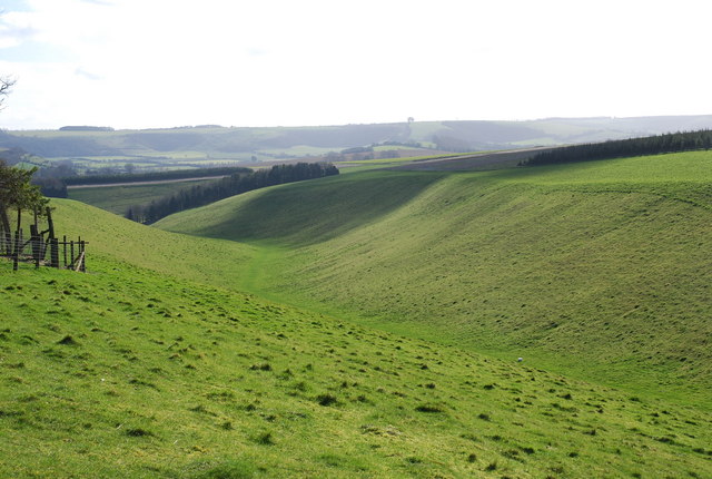
This circular walk from the village take you up to Prescombe Down and Sutton Down which stands at a height of 213 metres. Prescombe Down is a national nature reserve with a rich variety of chalk grassland wildflowers. You can also see a wide variety of butterflies here in the summer months. Keep your eyes peeled for fritillary, dark green fritillary, grizzled skipper, dingy skipper and adonis blue as you make your way across the down.
The route then heads south across Fifield Down to the settlements of Fifield Bavant where you could take detour east to visit Broad Chalke.
This route continues to Bowerchalke before heading north west to return to the village. Along the way there's some splendid views over the countryside of the Cranborne Chase AONB.
Eddesbourne Wake is not far from Salisbury where you could enjoy riverside trails and a visit to the famous cathedral.
Postcode
SP5 5JF - Please note: Postcode may be approximate for some rural locationsEbbesbourne Wake Ordnance Survey Map  - view and print off detailed OS map
Ebbesbourne Wake Open Street Map  - view and print off detailed map
Ebbesbourne Wake OS Map  - Mobile GPS OS Map with Location tracking
Ebbesbourne Wake Open Street Map  - Mobile GPS Map with Location tracking
Walks near Ebbesbourne Wake
- Broad Chalke - This picturesque Wiltshire based village is a lovely place for an easy stroll.
- Martin Down Nature Reserve - This beautiful nature reserve on the Hampshire/Dorset border consists of 350 hectares of unspoiled chalk downland
- Old Sarum Castle - Visit the site of the earliest settlement of Salisbury on this fascinating walk in Wiltshire
- Pepperbox Hill - This walk climbs to a distinctive 17th century folly on Pepperbox Hill near Salisbury in Wiltshire.
- Coombe Bissett Down - Enjoy a short walk around this pretty nature reserve near Salisbury
- Salisbury Country Way - A super circular walk through the countryside around Salisbury
- Salisbury Plain - This walk explores a section of the ancient Salisbury Plain with its chalk grassland, fascinating historical sites and wide ranging views
- Salisbury to Stonehenge Walk - This walk takes you from the city centre of Salisbury to the iconic Stonehenge
- Great Wishford - Enjoy a peaceful stroll along the River Wylye on this waterside walk in the Wiltshire village of Great Wishford
- Grovely Wood - Enjoy cycling and walking trails in this large area of woodland near the Wiltshire village of Great Wishford.
- Stonehenge - This circular walk visits the countryside and woodland around this famous historical site
- Woodhenge to Stonehenge Walk - This circular walk takes you from the car park at Woodhenge to the world famous Stonehenge
- Figsbury Ring - This walk visits the Iron Age hill fort of Figsbury Ring near the city of Salisbury in Wiltshire.
- Avon Valley Path - This wonderful river valley footpath takes you from Salisbury to Christchurch on the South Coast.
You start by the magnificent cathedral in Salisbury and head south towards Downton - Old Sarum Way - This circular route takes you on tour through the river valleys, woodland and downland around Salisbury
- Clarendon Way - Walk from Salisbury to Winchester on the Clarendon Way and enjoy some wonderful scenery
- Tisbury - This Wiltshire based village is located in a lovely spot in the valley of the River Nadder
Pubs/Cafes
Head to the Horseshoe for some rest and refreshment after your exercise. It's a lovely old pub with a fine garden with flower borders and fish pond together with many bench tables to enjoy during fine weather. There's a charming interior with an eclectic collection of old tools adorning the walls and ceilings. They serve delicious homemade food and can be found at postcode SP5 5JF for your sat navs. They are dog friendly if you have your canine friend with you.
Just to the west there's also the Crown Inn in Alvediston. The 17th century thatched pub is also well worth a visit.
Further Information and Other Local Ideas
Just east is the neighbouring village of Broad Chalke where there's a Norman church, pretty watercress beds and views of the River Ebble which meanders through the picturesque village.
Photos
This is the Sutton Down triangulation pillar, alongside the restricted by-way that leads from Old Shaftsbury Drove to Buxbury Hollow.


