Feltwell Walks

 This Norfolk based village is located near Thetford Forest in the South Western part of the county. It is known for its two, ancient Grade I listed churches which have a fascinating history. The village also has compelling archaeological evidence of Roman settlement, including two unidentified buildings, villas, and bathhouses that underscore the wealth of Feltwell during that era.
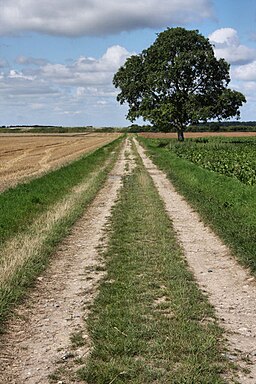
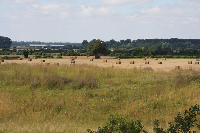
This circular walk from the village takes you along country lanes to the cut off channel to the west of the settlement. There's some easy waterside trails and nice views of the surrounding farmland to enjoy on the way.
To continue your walking in the area head south to visit the RSPB's Lakenheath Fen where there are some pleasant waterside trails and lots of wildlife to look out for.
Feltwell Ordnance Survey Map  - view and print off detailed OS map
Feltwell Open Street Map  - view and print off detailed map
Feltwell OS Map  - Mobile GPS OS Map with Location tracking
Feltwell Open Street Map  - Mobile GPS Map with Location tracking
Walks near Feltwell
- Lakenheath Fen - Follow the well laid out footpaths around this lovely nature reserve on the Norfolk/Suffolk border
- Brandon Country Park - A lovely cycle or walk around Brandon Country Park and the surrounding Thetford Forest in Suffolk
- Thetford Forest - Enjoy miles of cycling and walking trails in this large forest in Suffolk.
Cyclists will find 4 way-marked trails of varying distance and difficulty - Hereward Way - Starting in Oakham, in Rutland, follow the Herward Way through Stamford, Peterborough, Ely, and the Breckland forests to Thetford, in Norfolk
- Grimes Graves - This circular walk visits two interesting English Heritage Sites in Thetford Forest.
- Mildenhall - This is a lovely circular walk along the River Lark from the Suffolk market town of Mildenhall
- Hockwold Cum Wilton - This South West Norfolk based village is located near to the River Little Ouse and the RSPB's Lakenheath Fen.
Pubs/Cafes
The Wellington is situated at the heart of Feltwell, occupying a building with a diverse history, including its previous role as a village store. Some sections of the structure have origins dating back to 1730 and boast period elements like an inglenook and a distinctive green marble fireplace. The Wellington made its debut in March 2014, following a comprehensive process of refurbishment and renovation, accompanied by the adoption of its new name. The name was specifically chosen to honor the Wellington Planes that were stationed at R.A.F. Feltwell during World War II. The pub proudly showcases an extensive collection of genuine memorabilia and artwork from that era. The Wellington warmly welcomes patrons of all ages and backgrounds, making it a family-friendly establishment.
They serve good quality dishes and also have a garden and car parking area. The pub is dog friendly in the garden area.
You can find them on the High Street at postcode IP26 4AF.
Further Information and Other Local Ideas
Just to the south is neighbouring Hockwold Cum Wilton where there's the 15th century Hockwold Hall and some nice walks around the Hockwold Washes.


