Green Hammerton Walks

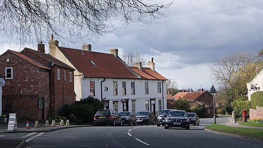
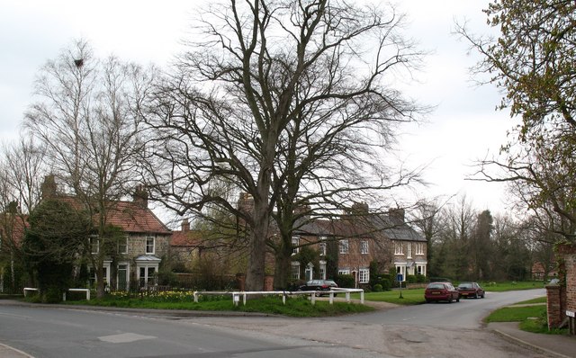
 This village is located in the Harrogate district of North Yorkshire. The rural village can be reached by rail on the Harrogate line which runs from Leeds to York via Knaresborough and Harrogate.
Local walking highlights include the neighbouring village of Nun Monkton and the historic Beningbrough Hall. Nun Monkton is located just a few miles to the east at the confluence of the Rivers Ouse and River Nidd. On the opposite side of the river there's the 18th century hall with its beautiful grounds and gardens.
This little walk from the village follows a country lane south to visit neighbouring Kirk Hammerton. On the way there's nice views of the surrounding countryside and a visit to the River Nidd which flows just to the south of the village.
Postcode
YO26 8BN - Please note: Postcode may be approximate for some rural locationsPlease click here for more information
Green Hammerton Ordnance Survey Map  - view and print off detailed OS map
Green Hammerton Open Street Map  - view and print off detailed map
Green Hammerton OS Map  - Mobile GPS OS Map with Location tracking
Green Hammerton Open Street Map  - Mobile GPS Map with Location tracking
Walks near Green Hammerton
- Nun Monkton - This worthy North Yorkshire village sits in a lovely spot at the confluence of the Rivers Ouse and River Nidd.
- Beningbrough Hall - The 18th century Beningbrough Hall has 8 acres of formal gardens to explore including a walled kitchen garden, herbaceous borders and Italian border filled with colourful Mediterranean blooms
- Jorvic Way - A circular walk through the countryside surrounding the city of York
- York Millennium Way - A circular walk around the outskirts of this historic city
- York River Walk - Enjoy an easy stroll along the River Ouse on this waterside circular walk through York
- Knaresborough River Walk - Enjoy a lovely riverside walk along the River Nidd, from Knaresborough Castle to the nearby Conyngham Hall
- Knaresborough Round - This 20 mile circular walk takes you on a tour of the countryside, lakes, rivers, woodland and villages surrounding the historic Yorkshire town of Knaresborough
- Easingwold - This attractive market town is located in a fine location for walkers, sitting on the edge of the North York Moors National park and the Howardian Hills.
- Sheriff Hutton - This village is located in the Ryedale area of North Yorkshire
- Sutton on the Forest - This delightful village is located near York and Easingwold in the Hambleton District of North Yorkshire.
- Crayke - This picturesque village is located just to the east of Easingwold in the Hambleton District of North Yorkshire
- Goldsborough - This village in North Yorkshire is located close to both Harrogate and Knaresborough
- Studley Park and Fountains Abbey - This marvellous attraction boasts 800 acres of beautiful parkland set in the Yorkshire countryside
- Wetherby to Spofforth Castle - Follow the Wetherby Railway Path from Wetherby to Spofforth on this easy walk or cycle in Yorkshire
Pubs/Cafes
The Bay Horse is a fine place for some post walk refreshments. They serve good quality home cooked food and also provide rooms if you'd like to stay in the area. Inside there's a cosy real fire with a pleasant garden area for warmer days. The inn is dog friendly.


