Grinton Walks

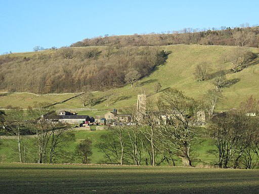
 This North Yorkshire village is located in a lovely rural spot near Reeth in the Yorkshire Dales.
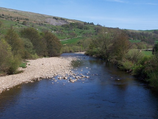
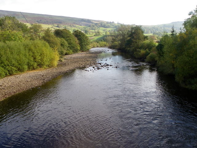
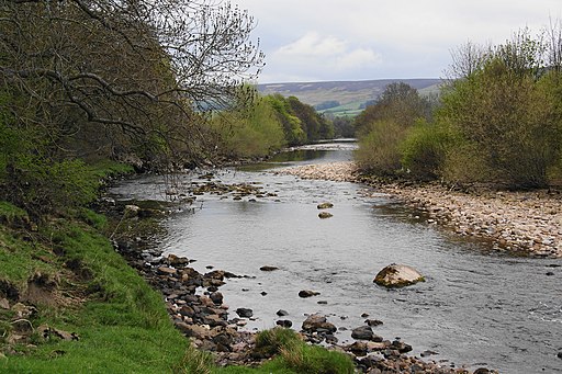
This circular walk from the village takes you along the River Swale to Marrick Priory before heading onto Cogden Moor for some wonderful views over the area.
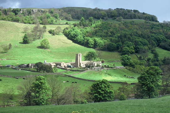
The historic priory was a Benedictine nunnery established between 1140 and 1160 by Roger de Aske. Today it has been converted into an outdoor education and residential centre for young people, providing activities such as rock climbing, abseiling, open canoeing, kayaking, caving, ropes course, zip wire, orienteering and team building.
After exploring the priory the walk then heads south, crossing the River Swale before coming to Bleaberry Hill. You then follow a country lane north east to meet with Cogden Gill. There's a footpath running north along the picturesque gill which leads back towards the village.
On the walk there's also some wonderful views of the rolling hills of Swaledale. To continue your walking in the area head north to try the popular Fremington Edge Walk where there's more splendid views on the ridge top path.
Postcode
DL11 6HH - Please note: Postcode may be approximate for some rural locationsGrinton Ordnance Survey Map  - view and print off detailed OS map
Grinton Open Street Map  - view and print off detailed map
Grinton OS Map  - Mobile GPS OS Map with Location tracking
Grinton Open Street Map  - Mobile GPS Map with Location tracking
Walks near Grinton
- Reeth - Explore beautiful Swaledale on this riverside circular walk in Reeth
- Fremington Edge - This elevated ridge in Swaledale is a popular place for walkers
- Gunnerside Gill - This circular walk in Swaledale takes you through the lovely Gunnerside Gill
- Richmond North Yorkshire - This interesting North Yorkshire town has some lovely riverside trails along the River Swale and two fine long distance trails to try
- Herriot Way - This long distance circular route takes you through areas of the Yorkshire Dales associated with the vet and author James Herriot.
The walk begins in the pretty village of Aysgarth in Wensleydale - Arkengarthdale - This walk explores lovely Arkengarthdale, the northernmost of the Yorkshire Dales
- Keld - This attractive village makes a fine base for exploring the Yorkshire Dales National Park
- Kisdon Force - This walk visits the stunning Kisdon Force, East Gill and Catrake Force waterfalls in the Yorkshire Dales National Park
- Gilling West - This attractive North Yorkshire village includes a historic high street with a number of significant buildings
- Keld to Ravenseat - This walk takes you from the village of Keld to the lovely viewpoint, old bridge and waterfall at Ravenseat in the Yorkshire Dales.
- Wainwright's Coast to Coast - Travel from the west coast of England to the east along this breathtaking route devised by Alfred Wainwright.
Pubs/Cafes
The Bridge Inn is a cosy place with a wood-panelled bar and an open fire. There's also a car park and a nice garden area for warmer days. You can find them at postcode DL11 6HH. The inn is also Dog Friendly.

