Hulme End Circular Walk
![]()
![]() This challenging circular walk from the village of Hulme End visits several Peak District highlights.
This challenging circular walk from the village of Hulme End visits several Peak District highlights.
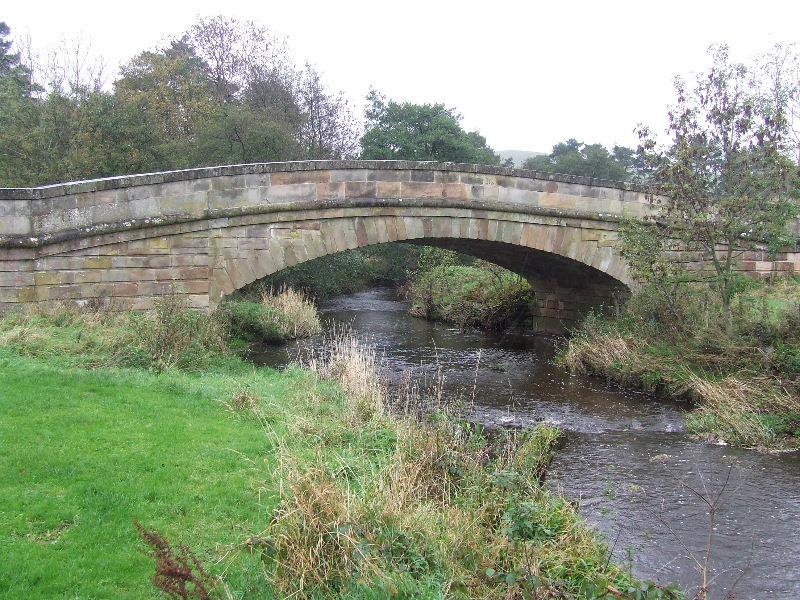
You'll visit the River Manifold, the River Dove, the fascinating Thor's Cave, the historic Wetton Mill, Wolfscote Dale and Beresford Dale.
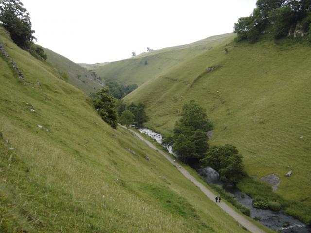
On the way you'll also pass through or near the villages of Alstonefield and Hartington. The route runs for a distance of about 10 miles with some moderate hill climbs. From the high points there are some splendid views of the surrounding White Peak landscape to enjoy.
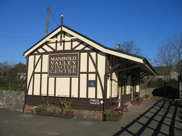
The walk starts and finishes from the Hulme End car park on the B5054 at postcode SK17 0EZ. There's a nice cafe here where you can enjoy refreshment after your exercise. The visitor centre for the Manifold Way is also located near here. There's a wealth of information on the area to be found here.
Postcode
SK17 0EZ - Please note: Postcode may be approximate for some rural locationsHulme End Ordnance Survey Map  - view and print off detailed OS map
Hulme End Open Street Map  - view and print off detailed map
Hulme End OS Map  - Mobile GPS OS Map with Location tracking
Hulme End Open Street Map  - Mobile GPS Map with Location tracking
Further Information and Other Local Ideas
There is a cafe near the car park at the start of the route. If you prefer a pub lunch there's also the Manifold Inn just to the east of the village. The 200 year old coaching inn sits in a lovely spot in its own grounds on the banks of the Manifold River opposite The Old Toll House which used to serve the turnpike and river ford.
Cycle Routes and Walking Routes Nearby
Photos
Hulme End Station. A close up of the nicely restored Leek and Manifold Railway Station building, now used as a visitor centre for the Manifold Valley.
