Kemsing Walks
![]()
![]() This rural Kent village is located in an attractive area of the North Downs, just north of Sevenoaks.
This rural Kent village is located in an attractive area of the North Downs, just north of Sevenoaks.
This circular walk from the village visits the Kemsing Down Nature Reserve before following a section of the North Downs Way to the north of the settlement.
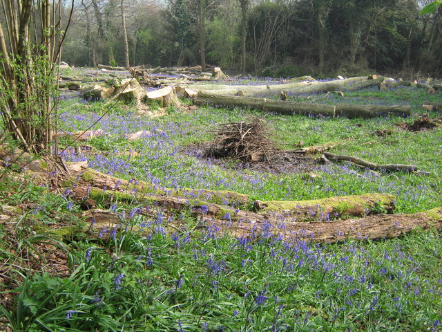
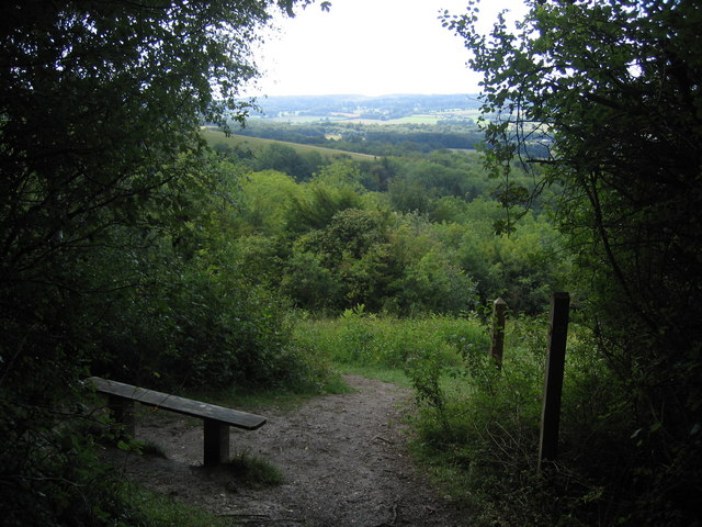
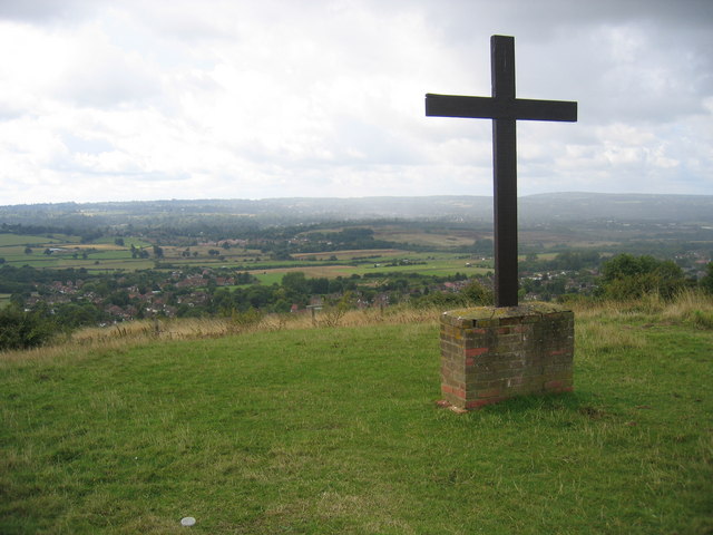
The walk starts in the village car park and heads north west to visit Kemsing Down. The reserve is run by Kent Wildlife Trust and includes ancient woodland trails, grassland and interesting flora including pyramidal orchid and bluebells. From the high points there are some tremendous views over the area.
The route continues to Rowdow Wood where you can pick up the North Downs Way and follow it east to Otford Manor, Cotman's Ash and Summeryards Wood. Here you turn south to pick up the Pilgrim's Way country lane which can be followed west back to the village.
Postcode
TN15 6TB - Please note: Postcode may be approximate for some rural locationsKemsing Ordnance Survey Map  - view and print off detailed OS map
Kemsing Open Street Map  - view and print off detailed map
Kemsing OS Map  - Mobile GPS OS Map with Location tracking
Kemsing Open Street Map  - Mobile GPS Map with Location tracking
Walks near Kemsing
- Otford Circular Walk - A popular circular walk from the Kent village of Otford, visiting the River Darent, Shoreham, Great Wood and the Otford Mount viewpoint
- Chartwell House - Explore the family home and garden of Sir Winston Churchill on this short walk in Westerham, Kent
- Riverhill Himalayan Gardens - Enjoy an easy stroll around these beautiful gardens on this short walk near Sevenoaks
- Chipstead Lake - Enjoy a walk along this pretty lake in Sevenoaks
- Knole Park - A circular walk around the delightful deer park at Knole in Sevenoaks
- Sevenoaks Wildlife Reserve - Follow a series of well laid out footpaths around this lovely nature reserve on this short walk in Sevenoaks
- Darent Valley Path - Travel through the Kent Downs AONB and along the Darent River on this beautiful walk.
You start off near Sevenoaks Railway Station and head north through the delightful tranquility of the Sevenoaks Wildlife Reserve - Igtham Mote - Enjoy a peaceful stroll in the woodland, gardens and parkland surrounding this medieval moated manor house near Sevenoaks in Kent
- Emmetts Garden - This 19th century garden near Sevenoaks contains many exotic trees and shrubs from around the world
- Toys Hill - Visit the highest point on the Kent Downs on this circular walk in Sevenoaks
- Oldbury Hill - Enjoy a series of walking paths around this Iron Age Hillfort near Sevenoaks
- Westerham - Westerham is located in the Sevenoaks District of Kent, a great location for exploring the beautiful Kent Downs
- Sevenoaks Circular Walk - This circular walk around the Kent town of Sevenoaks visits some of the highlights of the area
- Greensand Way - The Greensand Way runs from Haslemere in Surrey to Hamstreet in Kent following the ridge of greensand rock that crosses the two counties
- Knockholt - This route from Knockholt Pound uses sections of the North Downs Way and the Pilgrims Way to create a circular walk through the area
- Octavia Hill Centenary Walk - This circular walk follows the Octavia Hill Centenary walk through the beautiful Kent Downs.
Pubs/Cafes
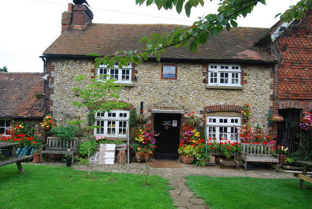
Back in the village you can enjoy some post exercise refreshment at The Bell. The friendly pub serves good quality home cooked food and has a nice garden area to the rear. You can find them at postcode TN15 6TB for you sat navs.
Dog Walking
The woodland and country trails are ideal for a dog walk. Please keep them on leads in the Kemsing Down area. The Bell pub mentioned above is also dog friendly.
Further Information and Other Local Ideas
For more walking ideas in the area see the North Downs Walks page.


