Little Stretton Walk
![]()
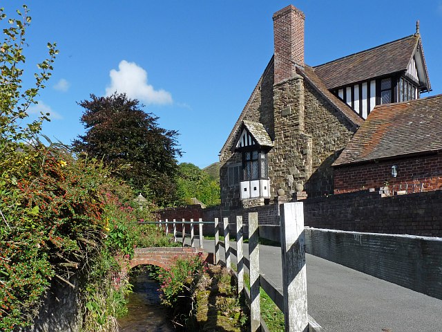
![]() The village of Little Stretton sits in an enviable position in the Shropshire Hills. The pretty village has a popular campsite and a decent local pub making it a popular start point for walking in this beautiful area.
The village of Little Stretton sits in an enviable position in the Shropshire Hills. The pretty village has a popular campsite and a decent local pub making it a popular start point for walking in this beautiful area.
This circular walk from the village, visits several of the highlights of the area including Ragleth Hill, Church Stretton, Carding Mill Valley and the Long Mynd.
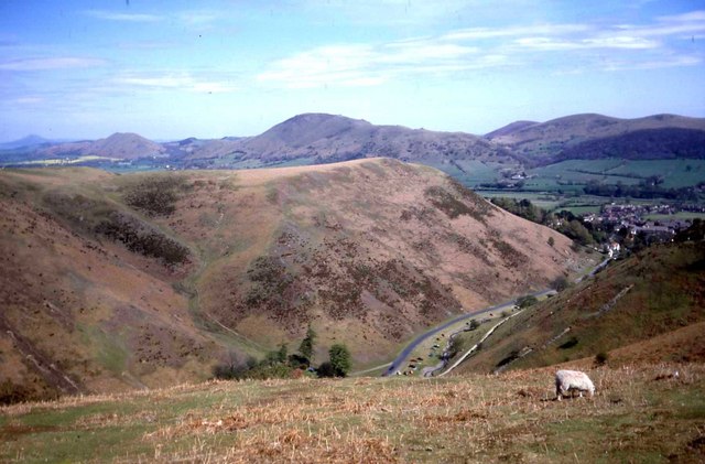
The walk starts in the village and follows paths east and then north to climb to the viewpoint at Ragleth Hill. There are fine views down to Church Stretton and across to the surrounding hills and countryside.
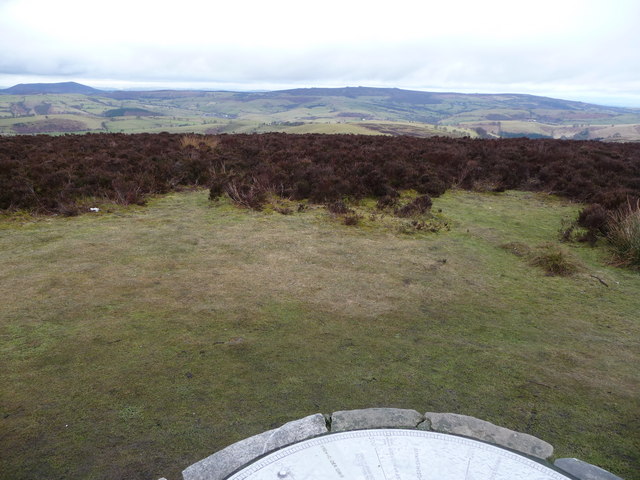
After taking in the views you then descend into Church Stretton where you pick up the Jack Mytton Way. This will take you north west through the Carding Mill Valley. You continue past Bodbury Hill and Haddon Hill before picking up the Shropshire Way to take you up to Pole Bank on the Long Mynd. There's a toposcope here which details the many landmarks you can see from here.
The path continues south before turning south east to follow a track across Minton Hill and Packetstone Hill to Minton. After passing through the small settlement you turn north to follow country lanes back into Little Stretton.
Little Stretton Ordnance Survey Map  - view and print off detailed OS map
Little Stretton Open Street Map  - view and print off detailed map
Little Stretton OS Map  - Mobile GPS OS Map with Location tracking
Little Stretton Open Street Map  - Mobile GPS Map with Location tracking
Pubs/Cafes
The Ragleth Inn is a fine choice for refreshments in the village. The pub dates from 1663 and includes one of the finest pub gardens in Shropshire. They do very good food and also have an interior full of character and charm. You can find the inn at postcode SY6 6RB for your sat navs.
Dog Walking
The woods and hillls make for a fine walk for fit dogs. The Ragleth Inn mentioned above is also dog friendly.
Further Information and Other Local Ideas
For an alternative route up to the Long Mynd you could follow the River Ashes Hollow north west from the village. The Small Batch campsite is nestled at the base of Ashes Hollow.
The climb to Caer Caradoc is another popular local walk which can be started from nearby Church Stretton.
The worthy village of Ratlinghope is located just west of the Pole Bank summit. It's a pretty place located on both the River East Onny and the Darnford Brook. You could explore the village, enjoy a waymarked circular climb to Adstone Hill and then head to The Bridges Pub which is in a lovely riverside spot.
For more walking ideas in the area see the Shropshire Hills Walks page.
Cycle Routes and Walking Routes Nearby
Photos
View northeast from Ragleth Hill summit pole. Caer Caradoc peeps over the far end of the Ragleth on a glorious late summer day.
Pole Bank toposcope on The Long Mynd Looking westwards towards the Stiperstones ridge.


